HOME > 写真 > 自然・風景 > 宇宙 > 地球
10,000件の写真素材が検索されました。
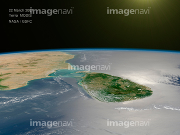
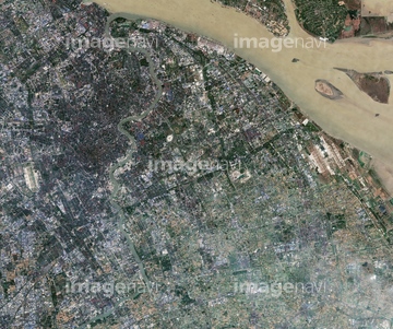
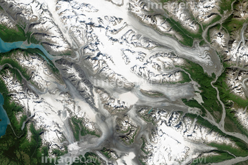
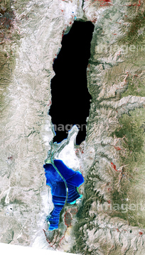
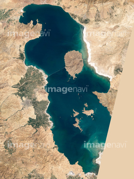
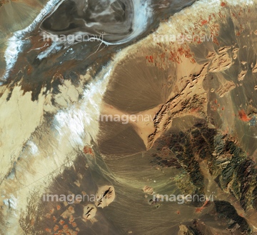
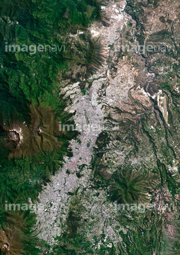
この検索結果には、Sri Lanka, satellite image、Africa, satellite image、Shanghai, China, satellite image、Battle Glacier, Alaska, satellite image、Dead Sea, 1989 satellite image、Bingham Canyon Mine landslide, USA, 2013などが含まれています。
64141171
64260710

64098696
64098667

64059357

64098666
64139336

64059349


64059339


64091493

64059362

64098695


64087812

64141184

64098673

64098680

64098681

64098684

64098688

64098690

64098693

64098702

64059340

64059343

64059356

64059350

64059353


64059355
64059363

64097610
64059361
64098663

64014160
64091427
64098669
64089705

64040014
64141178
64059714


64059347

64059352
64098679
64098700

64108861


64087874

64109227
64059360


64100584
64096039

64102918

64109422

64093933
64088684
64090810

64011211
64211646

64011200
64098670


64098677

64098678
64098664
64059345
64078005

64059348

64049194


64208339


64073664

64073665
64251625
64256566

64135588

64109527

64109558
64168478
64097616


64072059

64072060

64074360

64109509


64064290
64106455

64011214

64011215

64011231


64092867

64092868
64090803
64086495

64090826
64141174
64098692

64011230
64163298

64091421
64168465


64259661

64243149

64040980
64115729
64225984

64131456

64041390

64047389
64141170
64262469


64109440

64109462
64109471

64253111

64253112


64139331
| 次ページ |
