HOME > 写真 > 自然・風景 > 宇宙 > 地球
10,000件の写真素材が検索されました。
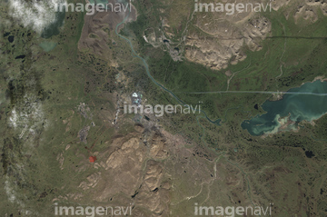
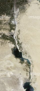
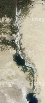
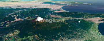
この検索結果には、ランドサット九州、ランドサット広島県、ランドサット広島市、ランドサット中四国、ランドサット日本列島、ランドサット近畿地方などが含まれています。

64057571
64064291
64064294
64067340
64064292
64064293

64065656

64057572

64053686

64067342

64067344

64105661
70571204

64075072

64075073
64026179
64026180

64067343
64016965

64220114

64016860

64016861

64016863
70571201
70571202
70571203

70571192
70289867
64026874


64060621

64014155

64014193

64014196

64014740

64014831

64016257
64016858

64016862

64016884

64074902

70571190
70571193
70571194
70571195
70571196
70571197
70571198
70571199
70571200
64016964

64105663

64057574

64057582

64057586

64057614

64057617

64059203


64067341

64115730

64163101
64243651
64045944
64045945

64014147
64105664
64154732
64065660
64065662

64244321


64016256

64075415
64151690
32857102


64149307
64097127

64098684

64102918


64057573

64057613
64009999
64010004

64010005
64075178

64037462

64098688

64098690

64098806

64045942

64253111

64253112

64057615


64215906
64215913

64065658

64016878
24734963
24734964
24734965
24734966

64011200
17274359
64226546


64098673

64098680

64098681

64098693


64098702

64098804

64098807

64098808

64100584


64203141


64051876

64009992
64009994
64009996

64010000
64010002
64010006
64010007
64010100
64100567


64045766
64098803

64011101
64011103
17200263

64210700

64210710

64014156
64014161
64014164
64014192

64014194
| 次ページ |
