HOME > 写真 > 科学・テクノロジー > 科学
10,000件の写真素材が検索されました。
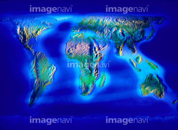
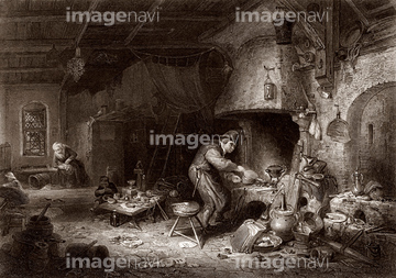
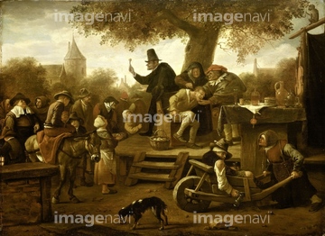
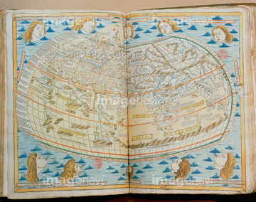
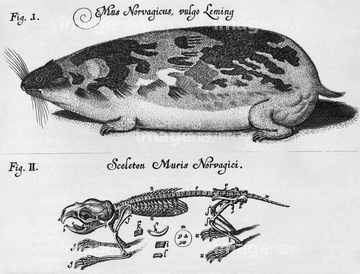
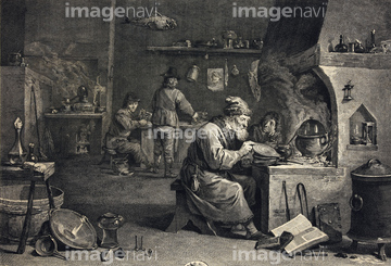
この検索結果には、East and West Indies, 18th century、Navigational map of the South Atlantic, 1630、Alchemist at work, 19th century、The quack, 17th century oil painting、Atlas of the world from the 15th century、Historical engraving of a lemmingなどが含まれています。

64149791
64217395
64233298
64191577
64233299
64245773
64191581
64248562
64248563
64191601
64191583
64159573
64233290
64233292

51424032
64191580
64191575
64191582
64046271
64233293
64058206
64058208
64058217

51424030
17200242

51424033
64159530
30014856
30014858
64059896
64053114
17274337
30036704
64068080
64068081
64058207
64149795
64058724
64216117
64041606
64159572
64191579
52210909
30036448
64046272
64091734
64047151
19940273
64057873
64058732
64217067
64217068
64239607
52229163
64057241
64048195
64048200
64048203
64101892
10918136
64041598
64041635
64116148
64129990
64057245
64058728
64058665
64072518
64072519
64057244
51913120
30035693
52228583
64062557
30035694
30035695
64248560
30014855
64047156
64248558
64045818
64083283
53112884
53112885
53112886

53112887
16922575
53112888
53112889
53112890
53112891
64057874
64041638
64048202
10903456
30036720
52215736
64048211
64014735
52228586
64068212
64125986
64057229
64042742
21236184
30047041

64050184
64047152
64041551
64041566
| 次ページ |
