HOME > 写真 > 自然・風景 > 宇宙 > 地球
10,000件の写真素材が検索されました。
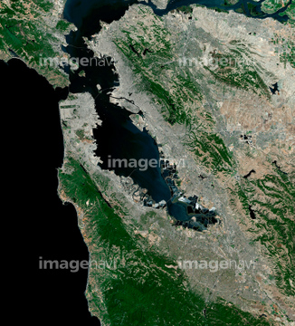
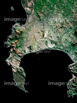
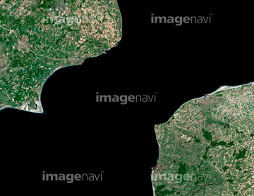
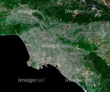
この検索結果には、Le Havre, satellite image、Mantua, Cuba, satellite image、Palermo, satellite image、San Francisco Bay, USA, satellite image、Cape Town, South Africa, satellite image、English Channel, satellite imageなどが含まれています。
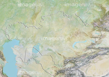
64151691

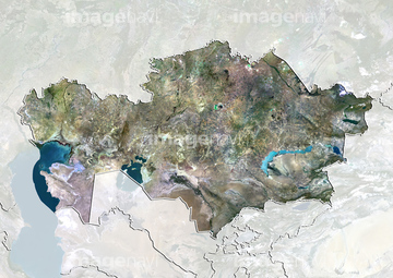
64089327
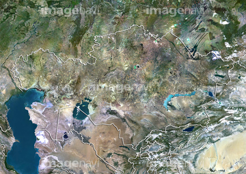
64013246
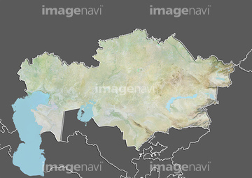
64013247
64016274
64098672
64089702
64089704

64151692
64151695
64263649
64013248

64057613
51451559

64057582
64139336
64097127

64098803
64139338

64100584

64139333
64139334
64139347
64163305


64009994
64009996
64009999
64010002
64010004
64010006
64011097
64011099
64011181
64011276
64011401

64053686

64074902
99046095
99046176

64098673

64098680

64098681

64098684

64098688

64098690
64098692

64098693

64098695


64098700

64098702

64129762

64098807

64098804

64098808

64253111

64253112

64057574

64057615

64045766


64009992
64010100


64210710
64163294
63030313
63030401
51451152
64013240
64013241
64151690
64088671
64088674

64098806
64100567

64102918

64105661

64105663
64105664

64139331

64139332

64139348


64190383


64210700


64214598


64215906
64215913
64219634


64149307


64057571

64057572

64057573

64057586

64057614

64057617

64059203

64064291
64064292
64064293
64064294

64051876

64010000

64010005
64010007

64067341

64067342

64067343

64067344

64075072

64075073
64075178

64075415
64075416

64011094

64011098
64011100
64011101
64011103
64109564
64100602
53112340
63030865

64163304
| 次ページ |
