HOME > 写真 > 自然・風景 > 宇宙 > 惑星
10,000件の写真素材が検索されました。
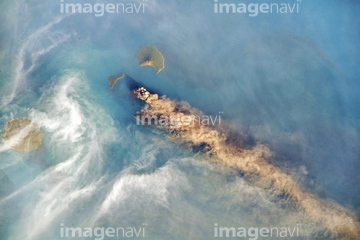
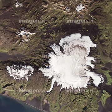
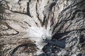
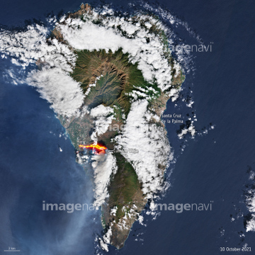
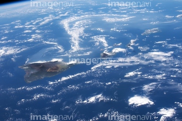
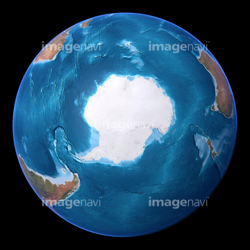
この検索結果には、East Asia, satellite image、The Arctic, satellite image、North America, satellite image、Europe, satellite image、Arabian Sea, satellite image、El Hierro, Canary Islandsなどが含まれています。

64053684
64154732


64053486
64053489
64053490


64086444

64049954

64013803
64013804

64086685
64128466
64023310
64060329

64074792
64067300


64040182

64040183

64075591
64067302

64067303
64190764

64073758
64113742
64076180


64074793

64040007

64040009

64040010

64040013

64051876

64047110

64214597

64087817

64015482

64098804

64098808

64043083

64062174

64062175

64242042

64014670

64040166

64040203

64040204

64040205

64040206

64040980

64088728


64058420

64058421

64067293

64011203

64011211

64011230

64040008
64067564
64040662
64106275
64014672

64073666

64040184
64061373
64061374

64041895

64053686
64088684
64112067

64040018

64106283

64098807
64014677
64203012
64093947
64096040
64015483


64067292
64235338


64083582

64062718
64063098

64067518
64191925
64107664
64161003
64014715

64014120
64163102
64191926
64252803
64113161
64113757
64113758
64113763
64075179
64252934


64067805

64044426

64044427

64075588

64075590


64014702

64014831

64047887

64130097
64130099
64174278
64056804
64056805

64040857

64059716
64086682
64082578
64109677
64011197
64203011
64203019
64203021
64203022
64203023
64053487
64053488
64053491
64053724

64074902

64073662

64073664


64064274

64011214

64011231
64014673
64014674
64014675
64014676
64014678
64014696
64014697
64014698
64014733

64040011

64040012
| 次ページ |
