HOME > 写真 > 自然・風景 > 宇宙 > 地球
10,000件の写真素材が検索されました。
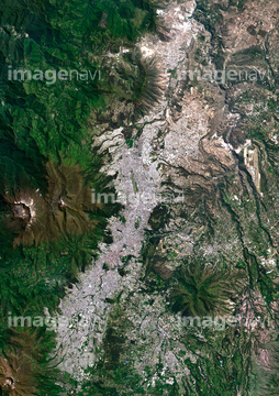
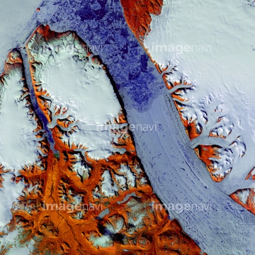
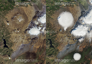
この検索結果には、Antarctic heat wave, composite image、Beijing, China, 2010, satellite image、Deforestation、San Gabriel Mountains, USA、Okjokull glacier, 1986, satellite image、Okjokull dead glacier, satellite imagesなどが含まれています。
64154732
64065660

64065656
64065662

64053686

64016256

64016257

64074902

64098804

64098808


64014831

64051876

64098807

64014155

64014193

64014196


64220114


64065658
64015487

64163101


64098806


64016860

64016861

64016862

64016863

64016884

17200263

64015263

64060621

64014740

64098803

64210700

64016332
64016071

64014156
64014164

64210710


64129762


64139332


64014147
64014161
64014192

64014194
64014211
64014212
64017024

64016878

64244321
64100567
64100602
64014923


64098673

64098684

64045942

64026179
64026180
70571204

64053684

64067341
64163303

64105661
64016964
64016965

64067343

64067344

64075072

64075073

64075415

64067340

64067342

64026874
64014770

64014975
64159622
64098692
64139348

64098688

64098690

64098702


64014198

64045766

64102918

64139331
64244158
64244159

64010000

64010005
64012909
64014148
64014151
64014152
64014154
64014157
64014158
64014163
64014165
64014166
64014169
64014199

64011094

64011098
64011100
64045946


64045945
64017038
64045944
64163102

64014117


64013803
64013804
64015482

64015483
64100572

64057617
64053486
64053489
64053490
64139334

64057572
64016858
70571201
70571202
70571203

| 次ページ |
