HOME > 写真 > 科学・テクノロジー > 科学
10,000件の写真素材が検索されました。
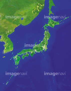
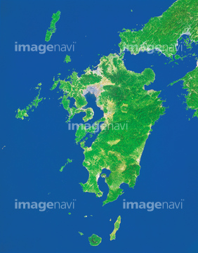
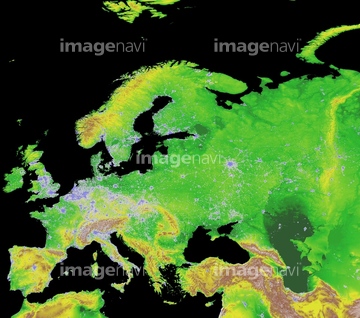
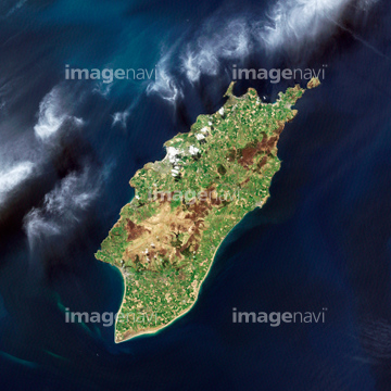
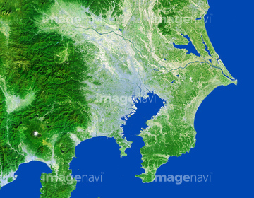
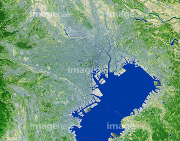
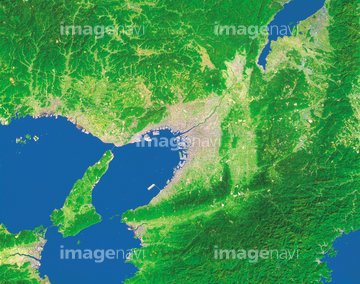
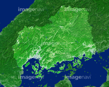
この検索結果には、ランドサット日本列島、ランドサット世界地図、ランドサット九州、Pearl River estuary, satellite image、Isle of Man, satellite image、London, true-colour satellite imageなどが含まれています。

64146823
64146824
64146825
64146827
64146828
64146829
64243651
64008713

70571190
70571191
70571192

64025791
64111507


64014971
64170107

64026179
64026180
70571204

64146819
64146826

64105661

64014155

64014193
64016965

64067344

64074902

64075072

64075073

64163101

64220114
64067340

64067342
51744074


64014831

64169046

64169059
30016792
64011322
64011323

64116457

64116458


17200276

64088667

64106823
70061603

64092608
64092609
64123404
64123406

64065656

70289867

64060621

64014740
64016858

64016860

64016861

64016862

64016863

64016884
70571193
70571194
70571195
70571196
70571197
70571198
70571199
70571200
70571201
70571202
70571203

64014196

64053686
64091497

64037527

64067343
17101328

50075560
64255122
64106454
64170965
64170967
64170970

64170973
64170977
64170978
64170979

64041383

64041390

64011200

64011203

64011211
50040279
50040284
50040326
70081708
70105766
70105767
50082015
64167497
50218531
50218532
50218533
50218534
50218535
50218536
50251653
50251654
50251655
50221248
50221249
50221250
50221251
70449432
70449433
70449434
70449435
70449436
70449437
17201603
17201618
64023461
64024964
18564738
64014752

64088450
50040324
50092426
50105955
50131098
50131099
64191939
64015154

17200250
50010299
70061699
70053430
50040080
10003896
19750289
19750302
32548031
32548032
70061685
| 次ページ |
