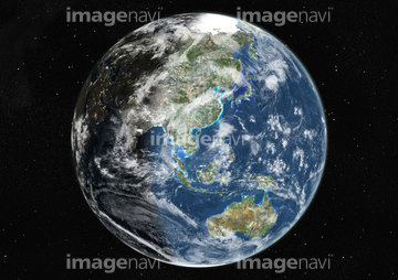
HOME > 写真 > 自然・風景 > 宇宙 > 地球
10,000件の写真素材が検索されました。
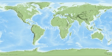
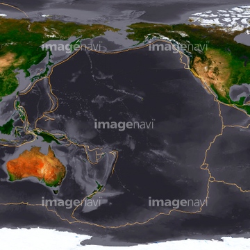
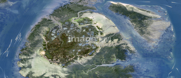
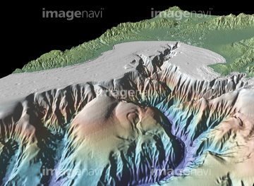
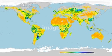
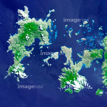
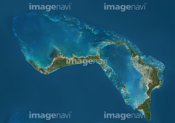
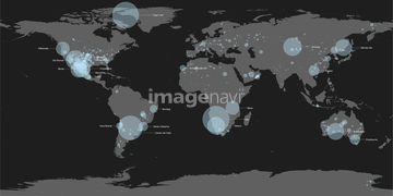
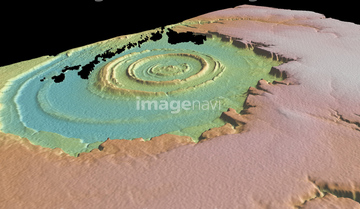
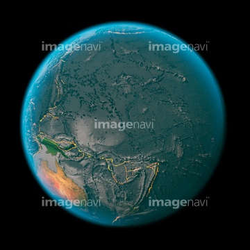
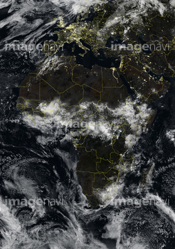
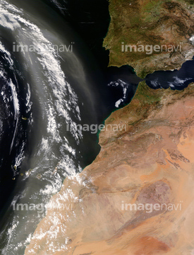
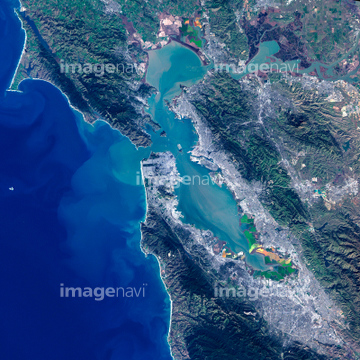
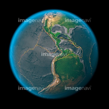
この検索結果には、Ocean-atmosphere CO2 exchange, 2100、Helsinki, Finland, satellite image、The Arctic, satellite image、North America, satellite image、Europe, satellite image、The Americas, satellite imageなどが含まれています。

64011221

64011223

64011225

64011229

64062425

64062429


64097610

64040014

64011214

64011215

64011231


64064274
64123560


64041384

64041895


64098666
64040181

64040205

64040206

64011211

64010398
64011099


64062428


64041392

64062174

64062175

64243149

64098673

64098684

64109433

64109438

64109441

64109442

64109443

64109444

64109460

64109463

64109464

64109465
64096039

64040007

64040009

64040010

64040011

64040012

64040013

64040015

64040016


64087812


64047888

64011230

64041383

64041390

64062426


64040184

64044741


64098688

64098690

64263649

64098696

64011203

64087817

64093933

64059340

64059343

64059356

64053684

64040980

64073666

64074793

64074902


64059355


64053686


64073664

64073665

64074794
64214492


64046391

64170236


64109677


64040203

64040204

64041386

64041387

64041388
64045719


51450290

64040018
64123571
64053694


64011200


64064295

64210700

64049125

64087874
64123567


64043123


64062204
64062205

64041391

64064290


64047887

64067279


64010000

64010005

64011094
| 次ページ |
