HOME > ژتگ^ > ƒCƒ‰ƒXƒgپECG > ƒfƒUƒCƒ“ƒpپ[ƒc > ƒAƒ‹ƒtƒ@ƒxƒbƒg
10,000Œڈ‚جژتگ^‘fچق‚ھŒںچُ‚³‚ê‚ـ‚µ‚½پB
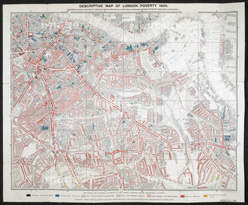
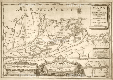
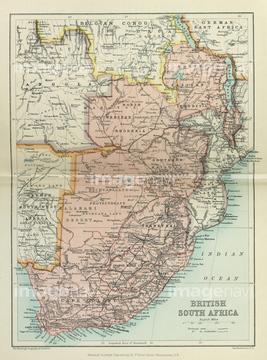
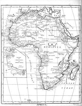
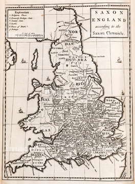
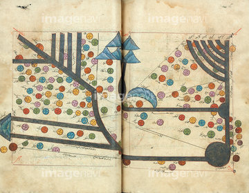
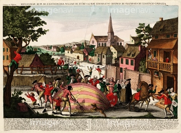
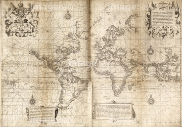
‚±‚جŒںچُŒ‹‰ت‚ة‚حپAMap of British South AfricaپAPlan of the Battle of El AlameinپAMap of Africa, 19th century illustrationپAMap of Anglo-Saxon EnglandپAMap of Transoxania, AsiaپAFirst hydrogen balloon being attacked‚ب‚ا‚ھٹـ‚ـ‚ê‚ؤ‚¢‚ـ‚·پB
64167768
64167766
64120021
64120022
64116142
64116818
64192086
64120523
64116143
64168234
64120023
64089082
64217859
64116814
64109437
64116821
64088155
64109434
64109435
64109436
64109445
64109446
64107450
64107451
64107452
64107453
64107454
64097772
64120524
64248339

64097794
64087009
64089074
64109418
64119864
64116819
64233301
64097791
64116817
64046199
64045821
64089072
64159602
64045244
64116811
64096848
64045245
64046201
64124721
64120526

64109420
64149787
64097782
64097792
64097793
64116178
64045249
64097783
64089037
64120018
64045830
64097787
64097788
64109782
64047144
64190510
64109411
64190210
64212664
64091457
64119850
64116177
64109455
64109456
64109457
64172993
64046155
64046156
64097786
64235029
64201873
64195498
64116174
64097771
64060990
64060991
64039913

64047311
64047312
64047313
64047314
64094347
64095353
64116135
64089035
64097776
64089253
64097789
64088104
64045003
64116816
64116815
64046159
64046215
64184188
64178520

64240052

64116820
64039885
64189291
64089032
64097784
64046200
64045822
| ژںƒyپ[ƒW |
