HOME > 写真 > 自然・風景 > 宇宙 > 衛星
10,000件の写真素材が検索されました。
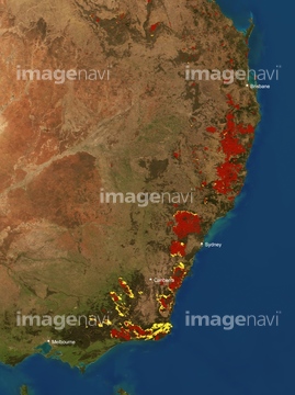
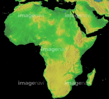
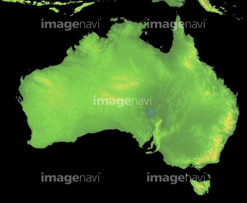
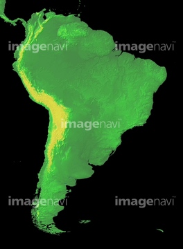
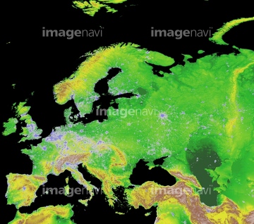
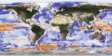
この検索結果には、ランドサット日本列島、ランドサット世界地図、Eastern Australia bushfires, satellite map、Antarctica at night, satellite image、Africa, satellite image、The Arctic at night, satellite imageなどが含まれています。
64173035
64106828
64146820

64252301

64252300

64146819
64105960
64105949


64041392

64088667

64116457

64116458

64106823


64041391


70571190


64041383
64008713

64011203

64011211

64011230
64146827
64146829
64146830

64041390

64041384
64011194
64011204
70571191

64190450
64190451


17200255

64011200

17200253

64011213
64109676
17200251

17200258

64088450
64067283

64067291
64146823
64146824
64146825
64146826
64146828
64123565
64123566

64091526
64011198
64011208

64011215
53122844
17200276

17200249

17200250


17200256

17200257


64011221

64011223

64011225

64011229
64015154

64053686
64011218
64111499

64014971
64204972

64059717


64067293
64075202

64011207
64094132
64163294
64144392
64144404
64098874
64098904
64098905
64102191
64011212

64011214

64011231
64014696
64014697
64014698
10016380
64056676
64075201
00038498
99028046
99028047
99028048
99028050
99028063
99028068
99028069
99028070
99028071
99028072
99028076
99028097
99028102
99028103
99028105
99028109
99028110
99028198
64087084
64035561

64014670
64243651
70571192
64153445
64138147
64185163

64040014

64040018
64040026
64250634
20536697
20536699
20536702
20536703
20536707
20536710
20536712
20536713
20536714
20536715
20536716
20536717
| 次ページ |
