HOME > 写真 > 産業・環境問題 > エネルギー・エコロジー > 環境破壊・汚染
10,000件の写真素材が検索されました。
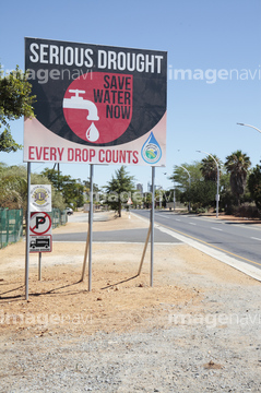
この検索結果には、理容店のサインポール、サインイメージ、Close up of a tree trunk、The "Wangjia Old Mingfang" was founded in the Qing…、住民の反対運動看板、Drought sign, South Africaなどが含まれています。

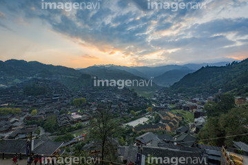
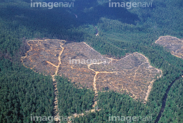
64181682

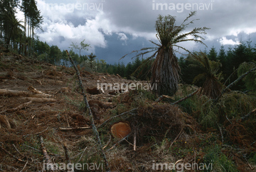
64181688
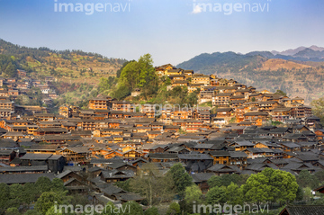
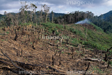
64181684
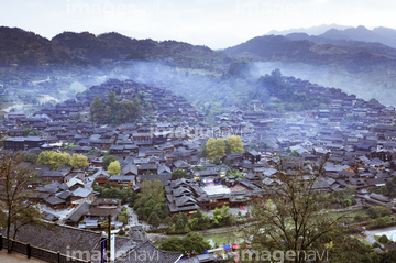
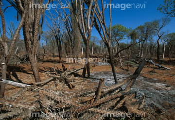
64181685
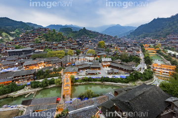
64181686
64181683

53122953
64181687
10135488


20572530
24723581
24723582
24723583
24723584
24723585
24723586
24723587
24723588
24723589
24723590
64165188
52217131

10956243

30325806
53122963
18583802

51449384
30377192
10312741
70081796
70081900
70081905
70081858
29035251

29035252
29035253
29035254
29035255

29035256

29035257
41521601
41521602
41521603
64165189

30079825

20572529
53122831
53122929
53122935
30063502

64037946

30322736

11606567

30077534

40784150
64073416
53122962
64026736
64105895

20574320
52212199

70461926
21527879
52200834


18583800
18583801
18583803

64017177

10956228

30097298

14957107
40828376

64050791
41521754

41521755
41521756
40028413
41160468
40820041

70282302
32456829
32456872
30314878
18519687


64180610

30333746

70234077
29192987
29192988

29192991
30304236

18525162
41230549

18524016
52200900
16913716
21564790
70081770
70081774
70081896
70082118
70082244
70082249
70082464
70082527

14916117
70212633
10958939
64029484
99044046


00000877
70081901
70082253
70082448
70212628
70081764
70081950
70082250

51449399
| 次ページ |
