HOME > ژتگ^ > ƒ‰ƒCƒtƒXƒ^ƒCƒ‹ > ژï–،پE—V‚ر > —·چs
10,000Œڈ‚جژتگ^‘fچق‚ھŒںچُ‚³‚ê‚ـ‚µ‚½پB
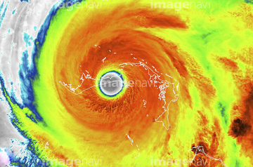
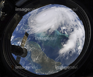
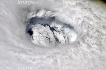
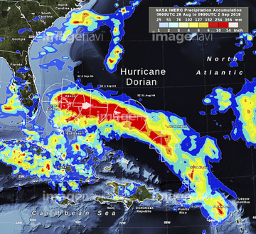
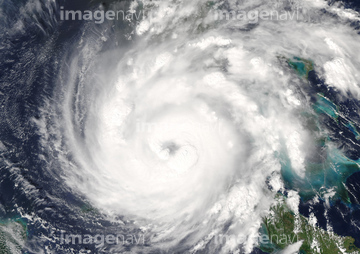
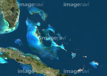
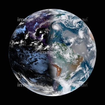
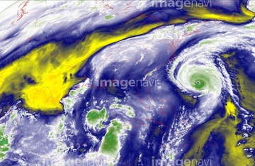
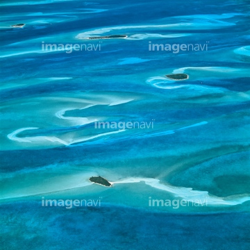
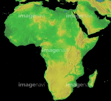
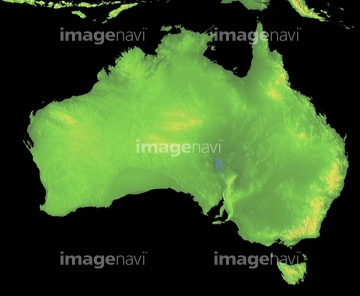
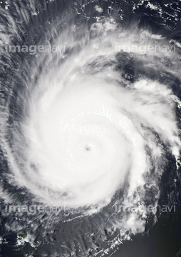
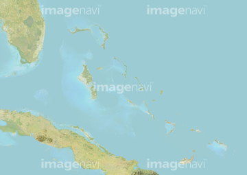
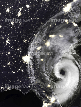
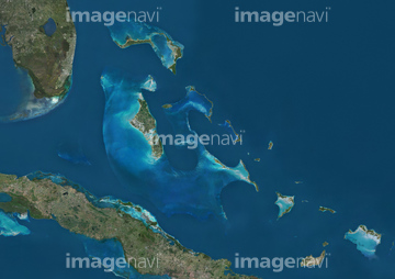
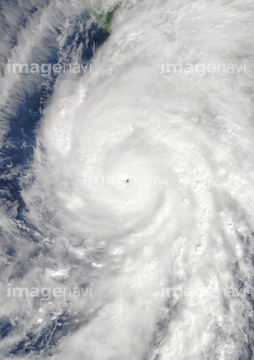
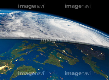
‚±‚جŒںچُŒ‹‰ت‚ة‚حپAHurricane Florence, satellite imageپAHurricane Florence, infrared satellite imageپAEleuthera, BahamasپAAfrica, GLOBE mapپAAustralia, GLOBE mapپASouth America, GLOBE map‚ب‚ا‚ھٹـ‚ـ‚ê‚ؤ‚¢‚ـ‚·پB
64190194

64049194

64169046

64169059

64032680

64032681

64032682
64040491
64040666
64022917

64060109

64060110

64014975

32210644
32210645
32210646
32210647
32210648
32210649
32210650
32210651
32210652
64032877

64014971


30391194

52211053
51450800
64169045
64107115
64146823
64146824
64146825
64146827
64146828
64146829


32210630
32210631
32210632
32210633
32210634
32210635


51450799

30391193


64088667
64040493


64040675

64040676

64014670

64204605

64204606
17200276
17200271
64078929
64078930
64078995
64078996
64078997
32210387

32210388

32210389
32210390
32210391
32210392
32210393
32210394
32210395
32210396
32210397
32210398
32210399
32210400
32210401
32210402
32210403
32210404
32210636
32210637
32210638
32210639
32210640
32210641
32210642
32210643

29205034
32210617
32210618
32210619
32210620
32210621
32210622
32210623
32210624
32210625
32210653
32210654
32210655
32210656
32210657
32210658
32210659
32210660
32210661
32210662
32210663
32210664
32210665
32210666
32210667
32210668
32210669
32210670
64014770


64045945

64014155

64014193

64074902


64163101

64220114
64045944

64050064

64151692
64151695


30391188


30391192

30046936
64204602
64204604
64032153

70571190
70571192
64025791
64079239
64079240
| ژںƒyپ[ƒW |
