HOME > 写真 > 科学・テクノロジー > 科学
10,000件の写真素材が検索されました。
この検索結果には、Geological map of the USA、Map of Ukraine, 1600s、Fort Swartesluys, 17th century、Taiwan Landmark、Taiwan Landscape、古地図 台湾などが含まれています。
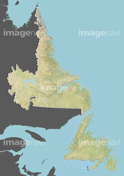
64191604
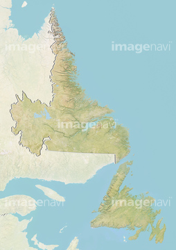
64191601
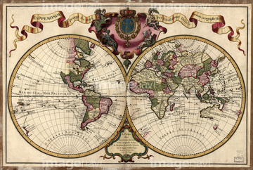
64159715
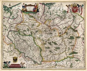
64159716
64162612
64162613

64220114
64159573
64089060
17200274
64191581
64191580

64149791
64151522
32481432
32481441
32481462
32481497
32481519
51451500
51451498
52211649
64159530
64159572
64233299
64217395
32483117
64248562
64248563
32483752
64235057
64245773
64191583
32480382
32481460
41102828
41102829
41102830
41102831
41102832
41102833
41102834
41102835
41102836
41102837
41102838
41102839
41102840
41102841
41102842
41102798
41102799
41102800
64202061
64102008
64171006
32659083
64191577
64191582
51450853
64011195
51453287
51453288
51453290
51453291

32481434
32482874
32483371
32488812
52211648
32481450
32481467
32481506
32481514
32487908
32487949
32483120
32483128
32487270
32479931
32480437
52228586
64053077
64016928
64156623
51450918
51451515
52211053
51450768
32488569
32484080
32484092
32493502
51450933
64011219
64191579
64233290
64233292
64233298
51451402

40563044
40563045
40563046
40563047
40563049

51424032
32661483
16917293
17200242
64189171
64016916
64101934
41102843
41102844
41102845
41102852
41102853
41102854
41088255
64189168
| 次ページ |
