HOME > 写真 > 自然・風景 > 宇宙 > 地球
10,000件の写真素材が検索されました。
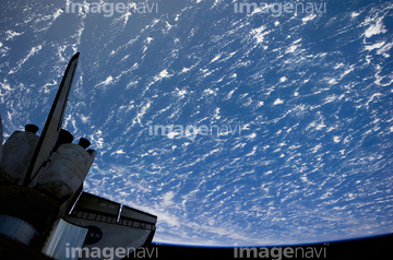
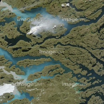
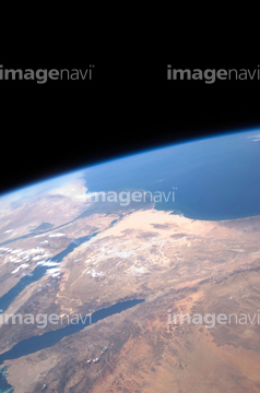
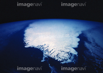
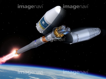
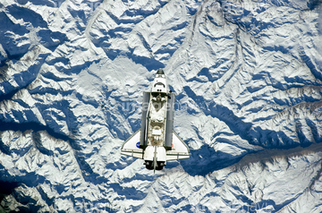
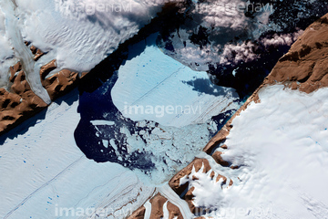
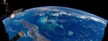
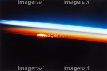
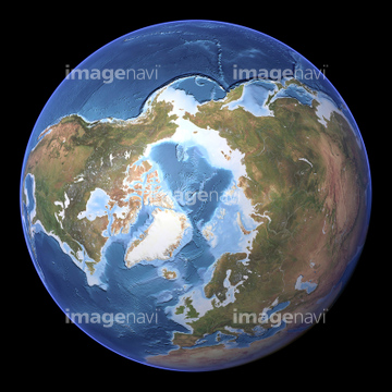
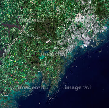
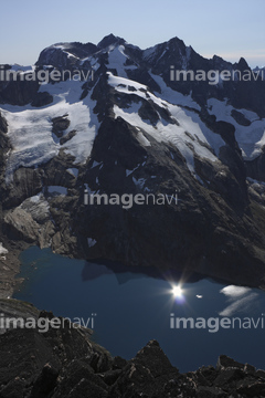
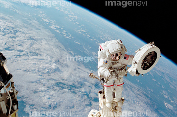
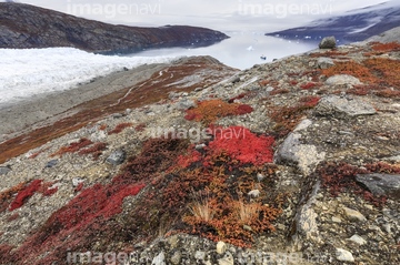
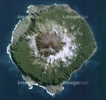
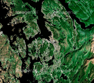
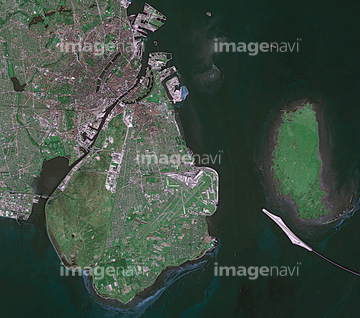
この検索結果には、宇宙から見た地球(NASA提供)、イルリサット・アイスフィヨルド、Arctic sea ice maximum, March 2023、Arctic sea ice maximum, March 2020、Arctic sea ice maximum, February 2021、Faroe Islands, satellite imageなどが含まれています。
64204733
64204734

64092866
64139348

64092867

64092868

64092865
64063265
64049119

64049125

64067330

64041391

64041392

64178179

99046170

64087874

64252742
64015143


64059386
63031402
64252934

64204748
64011187

64170236


64096039

64102918
64046358

64217944
64217945

64260979

64204970


64098696

64087812

64243149

64047389


64040980


64041386

64041387

64041388
64073659

64074360
64107661
64139334
64141450
64162892
64050837
64075594
64075595
64075596
64075597
64075598
64075599


64057586
64060002
64060003
64015248

64096982
64059209
64062052
64067339
64128970


64044575


64098677

64098678

64170235

70020391
70020403
70020423
70020424

23994765
23994769

23994784
23994788
23994790
23994791
64060005


64108850
64050840
64050842
64091543


64009994
64091421

64087817
64087825


64088728

64096983

64098684


64259482


64259490
64259647

64259656


64260474
64260477
64260478

64043083
64211648


64214597


64242042

64251605


64059343

64059353


64059355

64059356


64062425

64046357

| 次ページ |
