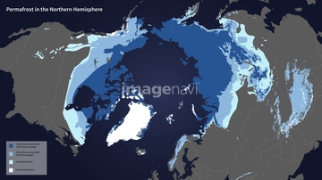
HOME > 写真 > 地図・衛星写真 > 衛星写真 > 環境問題
10,000件の写真素材が検索されました。
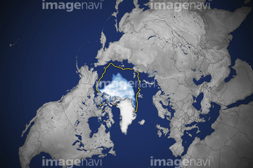
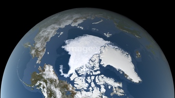
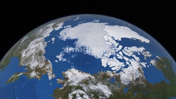
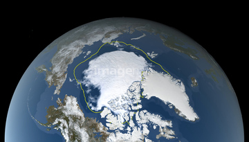
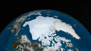
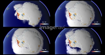
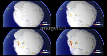
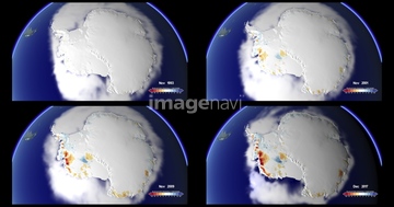
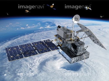
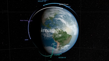
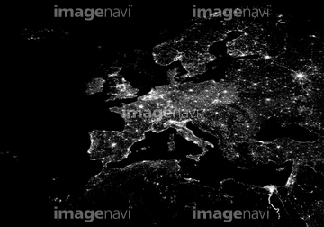
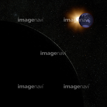
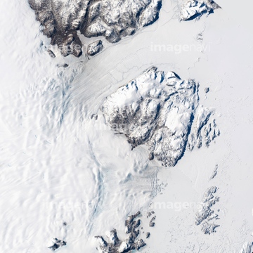
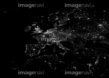
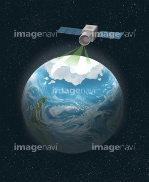
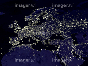
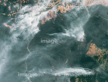
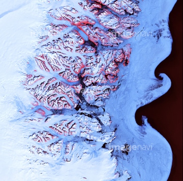
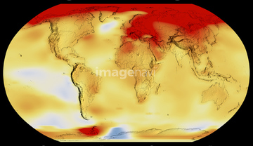
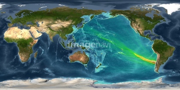
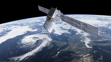
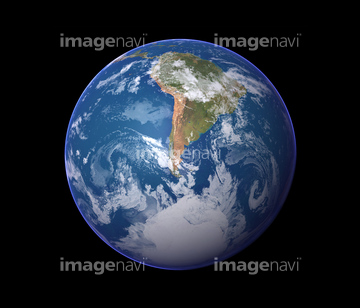
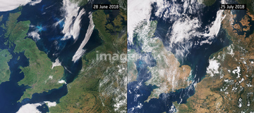
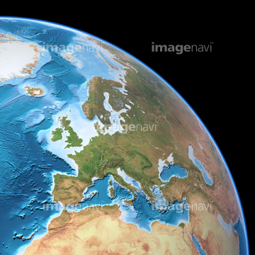
この検索結果には、Jason-3 satellite, illustration、Global map of sea surface height, 2016、Clouds over the Americas, GOES image、Atlantic atmospheric water vapour、Europe at night, satellite image、Wilkins ice shelf, Antarcticaなどが含まれています。

64204972

64088450

64059717
64204971
64128970
64247623

64105772
64255401
64257399
64257411

64041390
64154867
64169502

64011203

64011211

64011230
64015154

64041383

64264125

64041384

64011200

64204970

64077812


64111499
64258106

64260979

64073495

64092867

64116457

64116458


64088667

64106823
64258105
64088702


64215904


64092868
64141450
64162892


20543664
20543741

64045653

64058420

64058421
64219634


64092865

64092866
64109560


64257903
64257904

64014670

64257529

64217602

64040007

64040008

64040009

64040010

64040013

64074792

64074793


64178179

64106283

64105944
64015237
64015238
64015239
64015240
64015241
64015242
64015243
64015244
64015245
64015246
64015247
64146826
64146830
64014752

64045654

64214598
64192700
64093901
64113430
64113431
64139348

64015139
64105948

64253111

64253112

64200497


64165236

64168199


64149307

64057614
64105953
64064294
64201796
64201797
64201798
64201799

17200257


64185242
64100567


64140771

64103757


64014677

64185241
64167300
64256566
64011208
64015236


64146819

64109422

64045640

64045641

64045655
| 次ページ |
