HOME > 写真 > 自然・風景 > 宇宙 > 地球
10,000件の写真素材が検索されました。
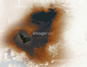
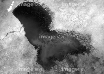
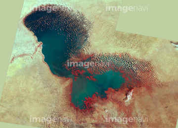
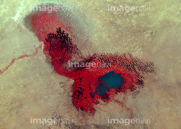
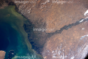
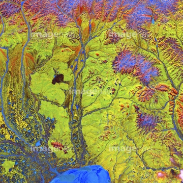
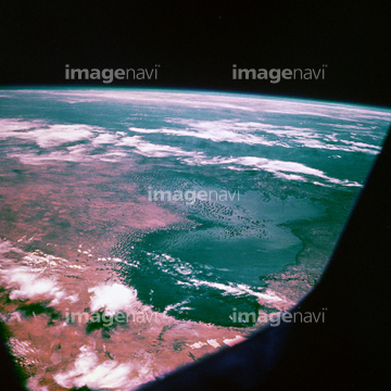
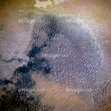
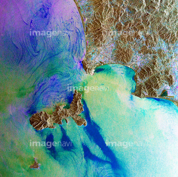
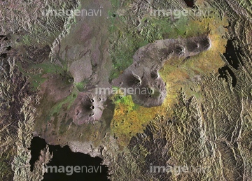
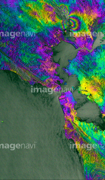
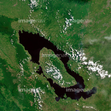
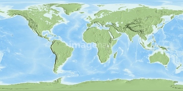
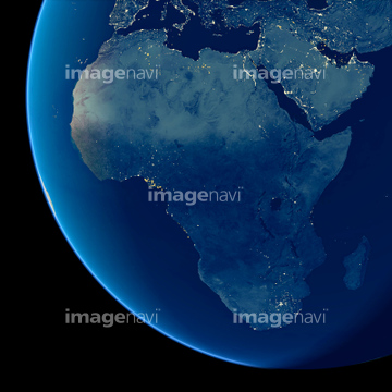
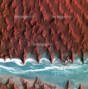
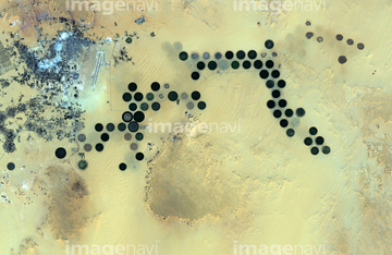
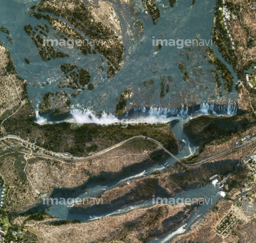
この検索結果には、宇宙から見た地球(NASA提供)、Greenland ice melt, 2009、West Africa, satellite image、Zambezi floodplain, satellite image、Lakes of Ounianga, satellite image、Jurua River, Amazon, satellite imageなどが含まれています。
64210708
64013239
64013240
64013241
64096998
99046035
99046159

64210710
51450897
53112452
99046160
64087873
64141178

64129762
64139338
64087844
64087831
64091428

64087874

64097610
64098679
64096989
64252934
99046135


64092866

64092867

64092868
64064295
99046074
64087826
99046110
99046144
64092229
64091420
64115805
64091427

17200249

64011200

64074359

64074420

64073662

64087812

17200234

64011203

64011211

64011214

64011215

64011221

64011223

64011225

64011229

64011230

64011231
64062204
64062205

64053694


64263649

64139333
64087305

99046175
99046023
99046083
99046089

64016256


64092865

64014930

64242042
64149139

17200250
17200251


17200253


17200255

64053256

64053257

64053258

64053259

64053260

64053315

64053325

64053368

64053369

64053371

64053372

64053385
64053386
64053473
64053474

64053561


64053684

64053686
64073659

64073664

64073665

64073666

64073758

64074360
64074361

64074418

64074421

64074422

64074424

64074792

64074793

64074902
64083581

64083582
64059714

64064290

64041342

64041386

64041387

64041388


64041391

64041392


64243149
99046002
64151692
64151695

64263237
99046143

64097622
64014110
64011202

64087306
64087811
64259657

64098807

64009992
64044793
64087825
64259487

64253111

64253112

64098804

64098808
| 次ページ |
