HOME > 写真 > 自然・風景 > 宇宙 > 地球
10,000件の写真素材が検索されました。
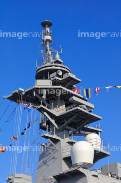
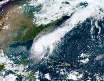
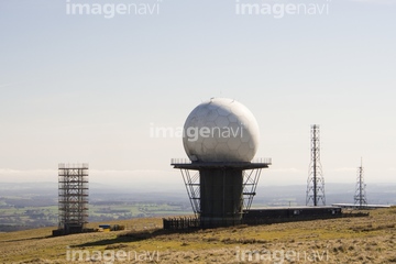
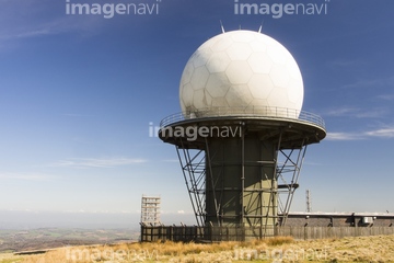
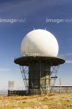
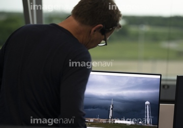
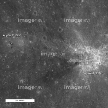
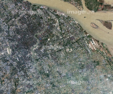
この検索結果には、大桟橋に停泊中の護衛艦いずものマスト、Clee Hill radar station, UK、SpaceX Demo-2 launch attempt、Apollo 11 landing sites, LRO image、Shanghai, China, satellite image、Hurricane Matthew, satellite imageなどが含まれています。

64193506


64210708
64015107
64111499
64111506
17276980

64091420
70545521
64090264
29023974
64253801
64109678


17276981
17276982
64120489
64120512
64120513
29091342
64056101
64087873
64091427
64091428
64104397
64087831
64149139


64037514
64100772
64127554
64127555
64127556
64198992
64128481
64141178

64243450
64139338
64191939

64210710
64093724

64152492

64072160
64072161
19339639
18550267
18550268

19305500
64120201
29547449
29547452
29547453
29547456
40052589
40052590
40052591
64004265
20531844
64265786
64265788

64265789
64265790
64265791
64265792
64265793
64265794
64265795
64265796
64265797
64265798
64265799
64265800
64265801
64087907
64087908
64087909
64087910
20991491
29104756
29107390
29107391
29107986
29112706
29112707

64097610
52213425
64018151
64104399

64087874
64087905
64087906

64092867

64092868
64145784
64111444
64097622
64243725
41491491
41186650
41186651
41361271
41361272
70584908
17298124
20989508
20989599
53152833
41527728
41527729
41527730
41527731
41527732

41527733
41527734
41527736
41527737
41527738
41527739
41527740
41547468
64259647
64259732
64260474
12424774
64215226
| 次ページ |
