HOME > ژتگ^ > ڈو‚蕨پEŒً’ت > Œً’تƒCƒپپ[ƒW > ’nگ}
10,000Œڈ‚جژتگ^‘fچق‚ھŒںچُ‚³‚ê‚ـ‚µ‚½پB
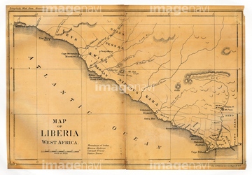
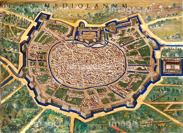
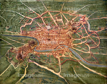
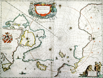
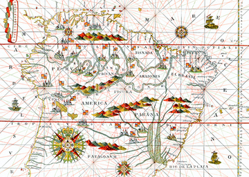
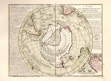
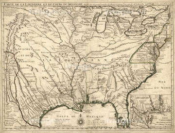
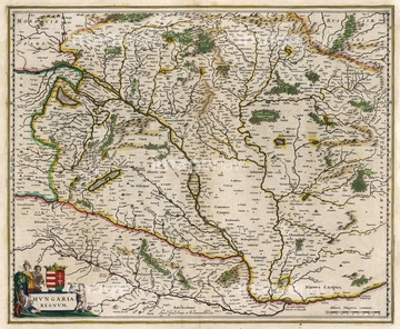
‚±‚جŒںچُŒ‹‰ت‚ة‚حپAArctic, 17th century mapپASouth America, 16th century mapپAMap of the Southern Hemisphere, 1657پAMap of Africa, 19th century illustrationپAMap of greece & greek islesپAGeological map of Europe, 1860‚ب‚ا‚ھٹـ‚ـ‚ê‚ؤ‚¢‚ـ‚·پB
64107450
64107451
64107452
64107453
64107454
64116819
64116818
64116814
64120023
64089074
64089082
64120021
64120022
64124721
64089035
64091457
64045821
64089037
64088155
64116817
64046155
64046156
64089032
64119864
64248339
64045830
64116142
64116143
64089072
64045003
64046159
64050949
64050950
31195331
31195332
31195333
64087009
64043174
64044503
64042641
30038105
64116815
64264503
64047803
64120526
64168234
64045000
64045819
64238672
64045852
64062251
64062252
17287200
17296370
64045004
64029644
64048837
64029645
64049140
64093447
64096848
19019066
64109446
64109418
17296371
17296373

64045231
64217859
17268591
64109437
64120523
64233301
29158323

29158324
29158641
29158642

29158955

29158956
29159131
29159132
29159370

29159371
29159765

29159766

29159849

29159850

29160315

29160316

29160479

29160480

29112912

29112913

29113988
29113989
64116821
64159602
64047010
64047819
64047144

64166400
64062628
64062629
64116135
64159700
64166412
64189279
64062602
64042642
64045223
64046201
64120018
19013304
64160410
64053050
29041647
17277158
17277195

64109420

64084648
17290942
17287166
17296374

64045232
64062704
17284016

64002824
64097771
64109434
64109435
64109436
64109445
64109782
64046157


64167768
64120524
64167766

17277072

17277073
17277084

17277092
17277137
17277203
64239174
64239356

17277093

17277094
64047817
64047820
64121828
64062004

64049135
64046200

64097794
64046259
| ژںƒyپ[ƒW |
