HOME > 写真 > イラスト・CG > 美術 > アールヌーボー・アールデコ
10,000件の写真素材が検索されました。
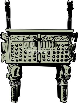
この検索結果には、青銅製の祭祀用具、マダイン・サーレハ、犬、男性とバイク、皿に乗ったゆり、首里金城の大アカギなどが含まれています。
64240380
64116176
64116177
64116178
51432155
51432156
30038111
40903055
30038075
64230479
30038106
30038084
30038097
64039998
30038115
30038082
64012009
64011949
40903107
64078633
64149787
16907771
40902986
64089074
51431980
51432167
51432461
51432462
51432463
41333098
64009517
41355734
30038089
51432151
51432159
51432160
51432163
41528461
64232198
20530265
20530270
64046158
64241637
64093087
64084136
30038086
30038091
30038077
30038085
64078263
64217857
40500742
64148850
14400135
64042079
64042082
64042083
64042084
51432490
51432559
51432471
20530261

41026896
64011952
30399930
64091457
30038071
30038074
30038090
30038093
30038120
30038124
64082059
18351578

64152760
64089037
64109410
64217861
19028521
41335947
64082057
64082066
64093198
64082052
64093104
51450310

17263839
20546034
64167811
64171369

64091230
16907763
41363551
41363552
64080819
64062628
64062629
64097771
29670393
64231897
41364000
41364001
20546003
64215334
64215335
64215336
30038087
30038112
19018893
64166473
64173013
41333043
41333044
41336824
64093048

64082055
64240232
30038092
30038102
16907764
41133920
64042051
64042080
30038073
30038088
19025057
19025069
64109445
16907765

64043253
18351576
40903014
64188831
64188832
64093096
64093145

19282722
41363553
41363554
41363894
40819722
| 次ページ |
