HOME > 写真 > 自然・風景 > 海 > 海中
10,000件の写真素材が検索されました。
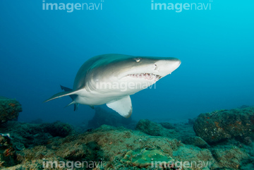
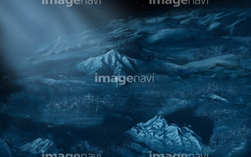
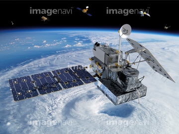
この検索結果には、Pacific Ocean sea floor topography、Jason-3 satellite, illustration、Global map of sea surface height, 2016、World land cover and sea floor topography、Sand tiger shark、World's storms between 1842 and 2017などが含まれています。

64252300
64252301
64106828
64173035
64146820


64129762
64109676

64105960

64106823
64098874

64011211

64011230
64105949

64088667

64041386

64011200
64033672

64146819
64146823
64146824
64146825
64146826
64146827
64146828
64146829
64146830

64075201
64098904
64098905

64011203

64041387

64041388

64116457

64116458


64032863
64190450
64190451

53122844
64015381
64015382
64037670

64032585
64033251

64041391
64032846
64032850
64032851
64032852
64056676
64121483
64121487
64121496
64141470
64141983
64032177
64032183
64032189
64032427
64032475
64032476
64032488
64209961
64215464
64215465
64215468
64215469
64215470
64059016
64059017
64059018
64059019
64064862
64064863
64047230
64047428
64047430
64045128
64049699
64032548
64032622
64032842
64032843
64032859
64032860
64032862
64033563
64033566
64033570
64033580
64033592
64033621
64033623
64033624
64033646
64033669
64033708
64040119
64040675
64040676
64041399
64041400
64041408
64041428
64041430
64041465
64041471
64012732
64012849
64014088
64014542
64017231
64017232
64075941
64075946
64075957
64075958
64075959
64029847
64029932
64029933
64029934
64029935
64029936
64030075
17200276


64041392
64144392
64144404
64030074

64008713

64087874

64011214

64011215

64011231
64015378
64015379
64015380

64014971

64041384
64112945
64109678

64053686
64198799
64142003
64142004
64115992
64138569
64111499
64250634
64033505
64121484

64121485
64121486
64121489

64115994
64115995
64138148
64138151
64138178
64108049
64108050
64108051
64108098
64108099
64032203
64032452
64032464
64047222
64184723
| 次ページ |
