HOME > 写真 > 自然・風景 > 宇宙 > 地球
10,000件の写真素材が検索されました。
この検索結果には、Atlantic Ocean, satellite image、Pacific Ocean, satellite image、Gravity map of Earth、Ocean current speed、Aaland Islands, satellite image、North America, satellite imageなどが含まれています。
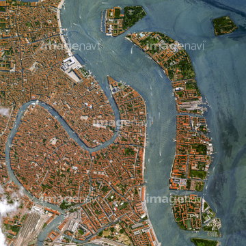
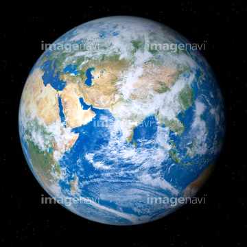
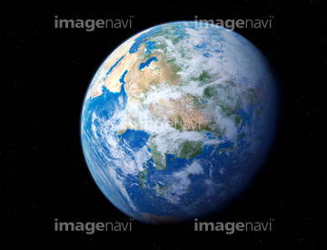
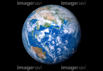
64252846
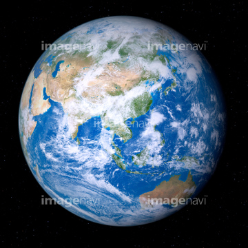
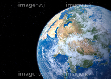
64165592
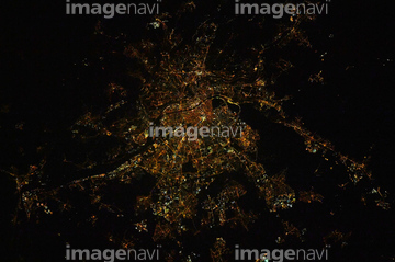
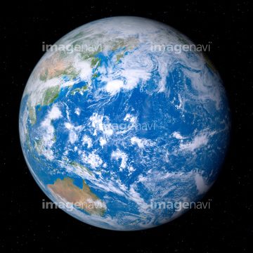
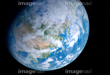
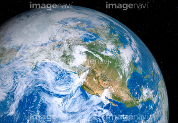
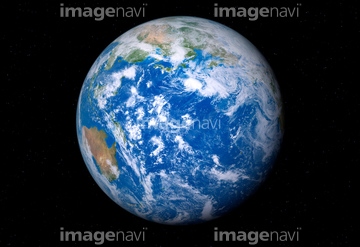
64251605

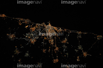
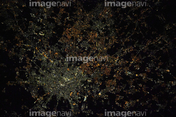
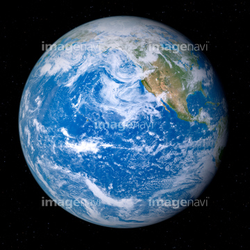
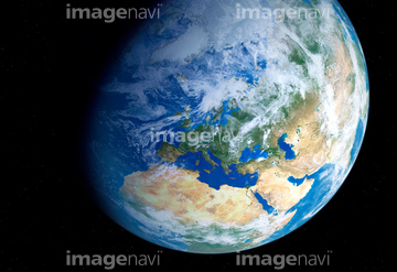
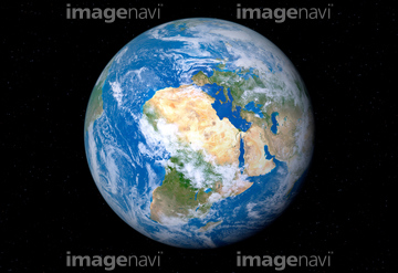
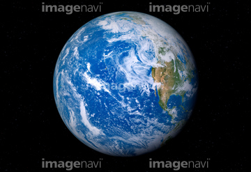
64259491

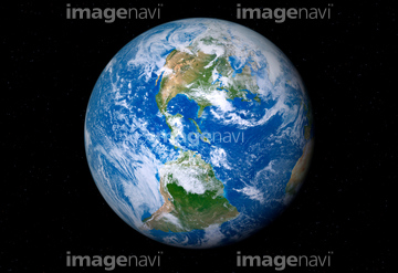
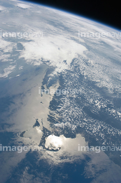
64053256

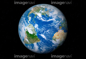
64053257

64053258

64053259

64053260

64053368

64053369

64053371

64053372

64053385

64053561


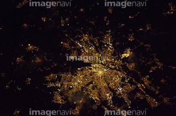
64259482
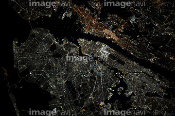

64254515

64062175


64048954
64048955
64048956
64048957
64048958
64049175
64049177
64049179
64049181
64049183
64049185
64049197
64049203
64049220
64053386
64053473
64053474

64053684

64040012

64040015

64040177

64040178

64040204

64074360

64011214

64011231


64087817

64083581

64083582

64043083

64043123


64242042


64220039


64062174
64043655
64043656
64043657
64043658
64043659
64043660
64043661

64048952
64048953
64048959
64048960
64048961
64049174
64049176
64049178
64049180
64049182
64049184
64049196
64049198
64049202
64049204

64053686
64053694

64040182

64040183

64040203

64041345
64016866

64073666

64074418

64074420

64074421

64074422

64074424

64074902

64259490

64235901


64053373
64053374


64075684
64075795

64086667

64089706

64078185
64078186
64081457
64081459
64084395


64047887
64014747

64066108

64066109

64066110

64066111


64066113


64067274

64067275

64067276

64067277


64067279


64067295
64067297


64067805

64072484

64072485

64072487


64072490

64072491

64072492


64072495

64072496

64088728


64210710


64053315

64040011

64040016

64074792

| 次ページ |
