HOME > 写真 > 自然・風景 > 宇宙 > 地球
10,000件の写真素材が検索されました。
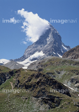
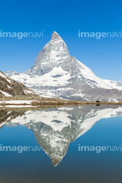
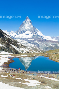
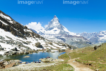
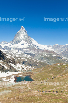
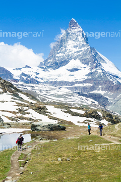
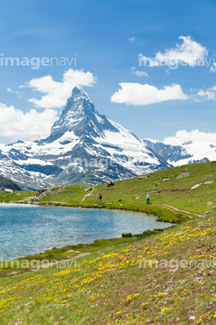
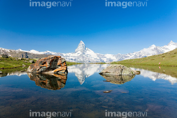
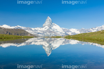
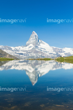
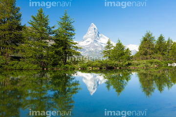
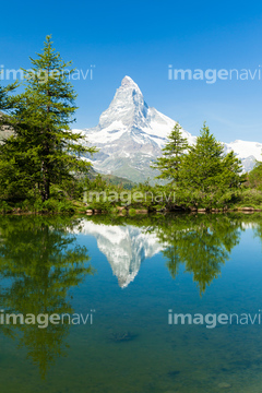
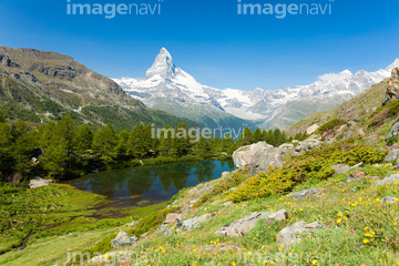
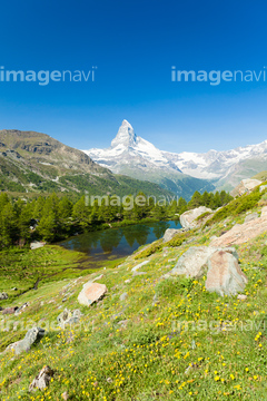
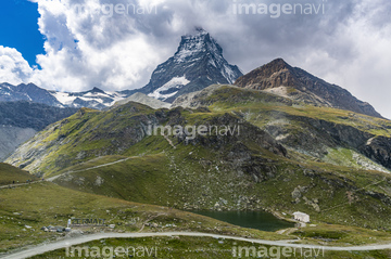
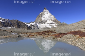
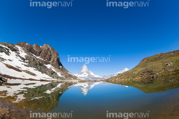
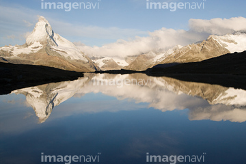
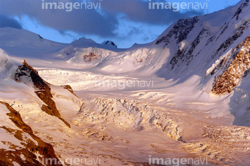
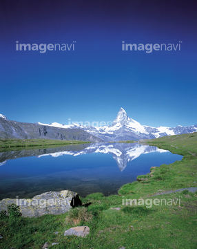
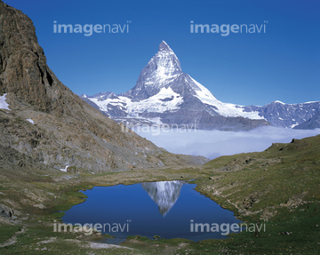
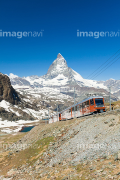
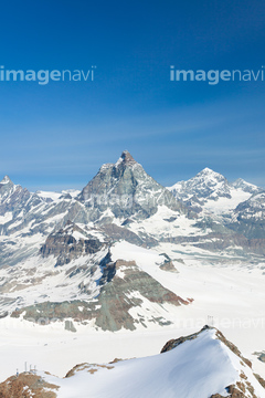
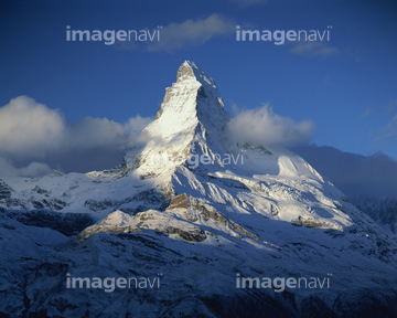
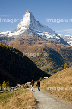
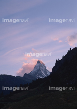
この検索結果には、マッターホルン、リッフェルゼーに映る逆さマッターホルン、リッフェルゼーに映る逆さマッターホルンと湖畔のハイカー、マッターホルンとリッフェルゼーと湖畔のハイカー、マッターホルンとリッフェルゼーに下るハイカー、マッターホルンとリッフェルゼー付近のハイカーなどが含まれています。
64211646
64211648


64041383

64044741
64259487

64098804
64087175
64087176
64251605

99085010


64075196

64075197


99085009

64067341
70226841
70226842
70226843
70226844
70226845
70226888
70226889
70226890
70226891
70226893
70226894
70226895
70226896


64073662

64253111

64253112

64009992


64041386

64041387

64041388


64041391

64041392
64044793
64087831

64098808
64259481
24829957
64048958
64096998
64193134

70226840
64100567
20924998
64115733


64259482


64259490
64259647
64259653

64259656
64259657


64259661
64259732

64260474
64260477
64260478
64260487

64064780
64074361

64064290
64087825
64087844

64062429

64053684
19285813
19285815
64065655
50151801
64011210

64011211

64011230
64096039
64098667

64098696

64102918

64074793

64074360

64059362


64011200

64040008


64087874


64091493

64098806
64016866
64136367
64260710
00001504
64014161
21552467

64139336

64164839
70054266
64045775


64041342

00001505
70076239
70076240
70076242
70076244
70076245
99085008
64141171
64010100

64043083

64074418

64074420

64074421

64074422

64074424

64074792

64074794

64074795
64073659

64073664

64073665

64073666


64074359

64059340


64059343

64059347
64059348

64059349
| 次ページ |
