HOME > 写真 > 科学・テクノロジー > 科学
10,000件の写真素材が検索されました。
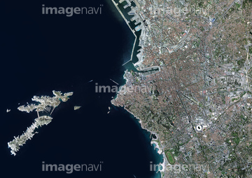
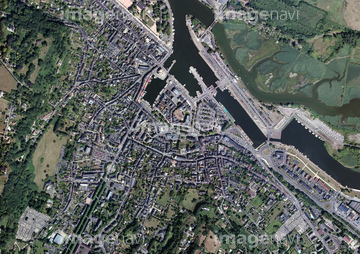
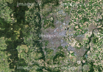
この検索結果には、Antibes Historical Centre, France, aerial photogra…、Bordeaux, France、Marseille, France、Mulhouse, France、Nantes, France、Strasbourg, Franceなどが含まれています。
64259317
64259316
53152173
53152172
64259297
64259300
64259301
24613522
24613523
64259683
64259684
64259726
64259730
64259313
64259308
64259768
53152012
53152013
53152099
53152100
53152107
53152108
53152115
53152116
53152152
53152154
64259310
64088837
64259325
53152151
53152153
70107719
64259283
64259329
64259633
64259676
64259677
64259696
64259698
64259699
64259700

64259702
64259703
64259716
64259721
64259731
64259409

64259331
53112329
53112330
64259714
30384542
53121412
29205409


70107713
70107714
53152144
64226036
64259284
64259291
64259319
64259321
64259323
64259335
64259425
64259675
64259717
64259748
64259758
64259780
64259788
64259791
64259792
64259793
64259794
64259795
64259796
64259797
64259799
64159021
64259304
64259410
70107717
70107718
70107711
53151962
53151963
53152002

53152003
53152032
53152033
53152034
53152035
53152038
53152040
53152041

53152042
53152047
53152049
53152079
53152080

53152109
53152110
64259282
| 次ページ |
