HOME > 写真 > 地図・衛星写真 > 衛星写真 > 環境問題
10,000件の写真素材が検索されました。
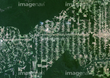
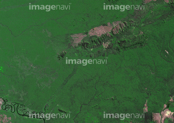
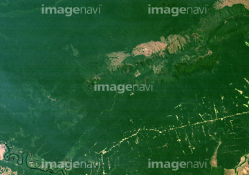
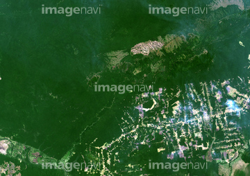
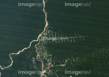
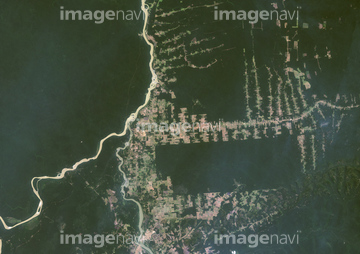
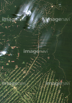
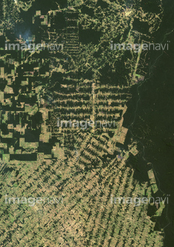
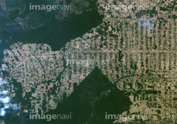
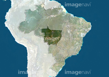
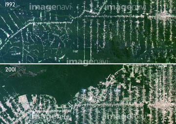
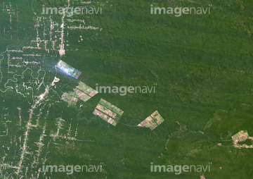
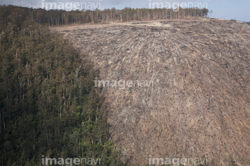
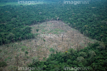
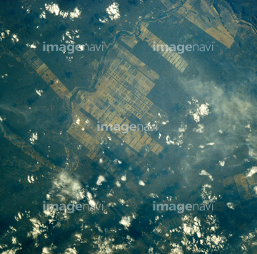
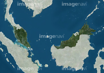
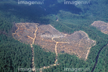
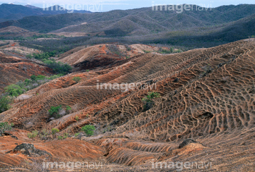
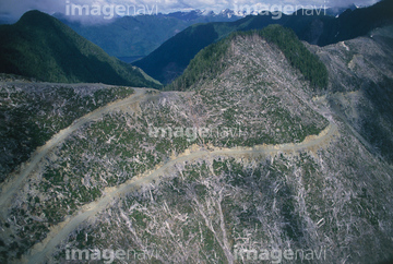
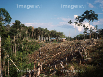
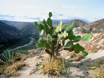
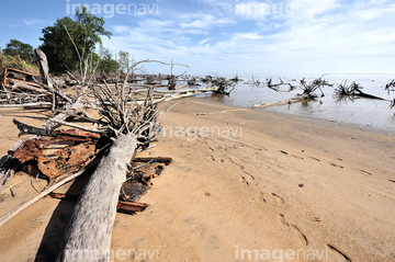
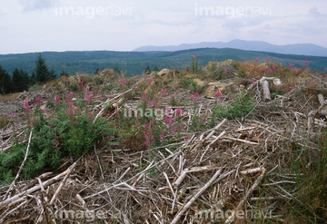
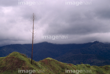
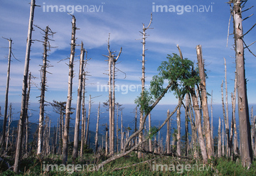
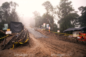
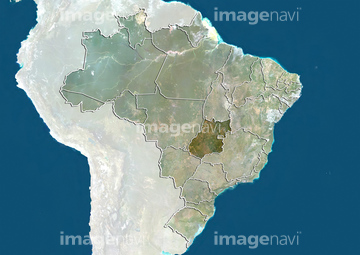
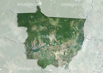
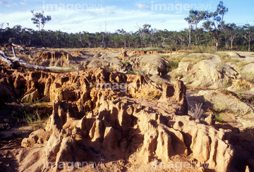
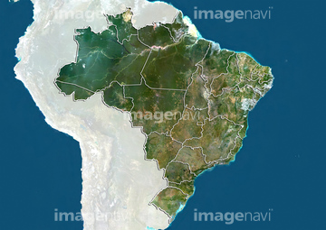
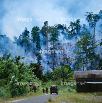
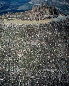
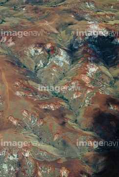
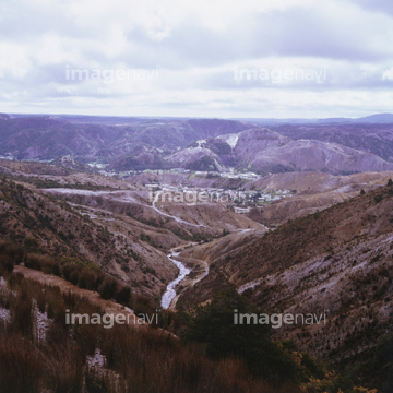
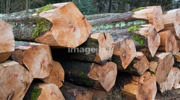
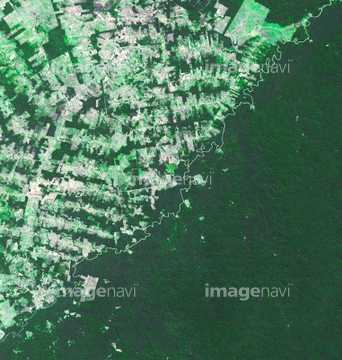
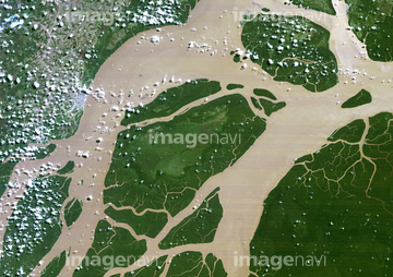
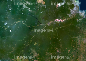
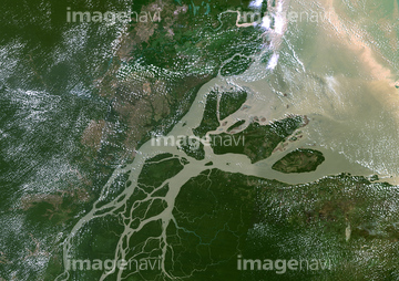
この検索結果には、Brazil, Natural Colour Satellite Image、RAINFOREST DESTROYED、Eastern South America, Natural Colour Satellite Im…、DEFORESTATION、FOREST CLEARANCE、Clear cut ridgesなどが含まれています。
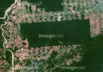
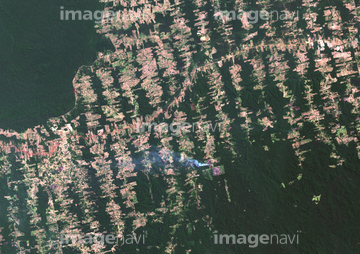
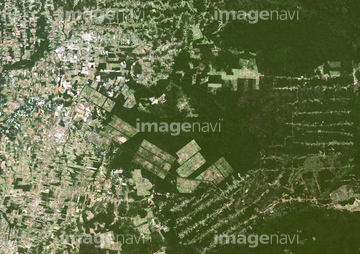
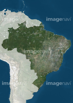
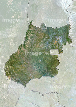
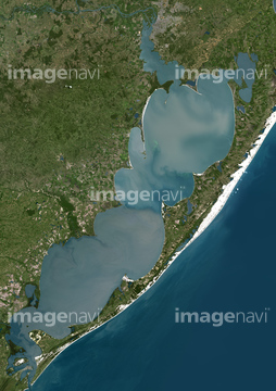
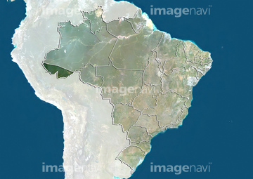
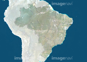
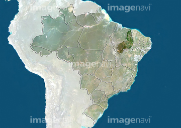
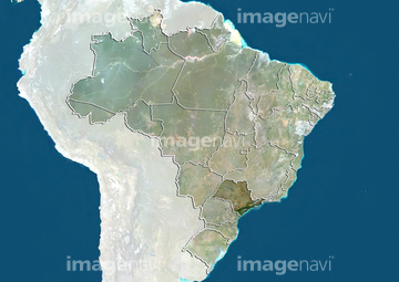
53152174
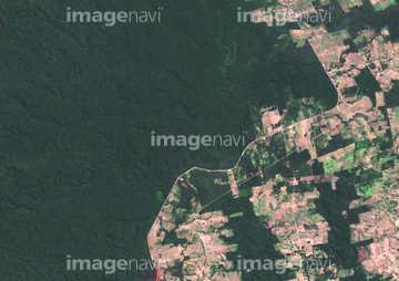
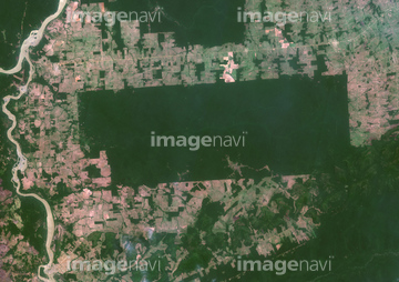
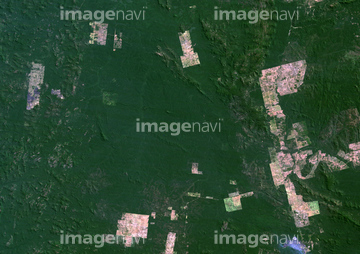
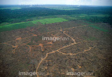
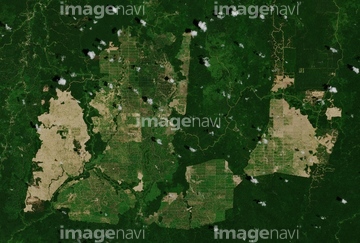
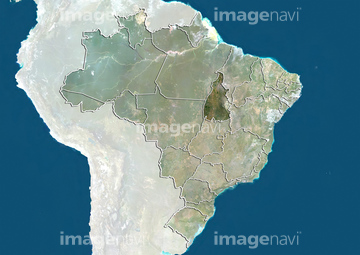
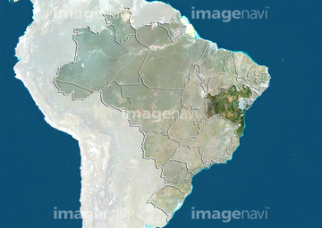
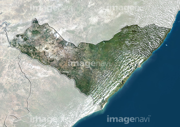
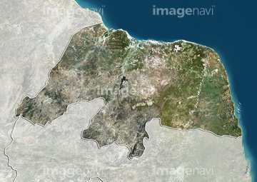
53152175
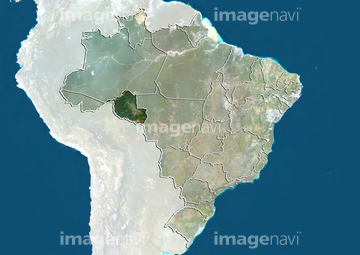


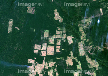
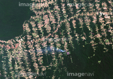
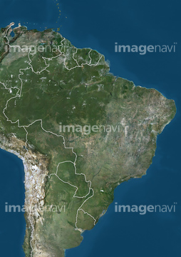
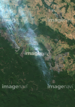
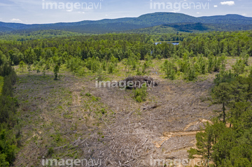
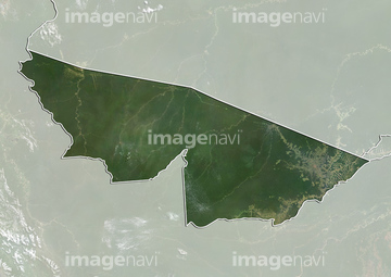
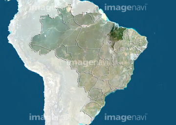
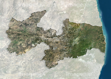
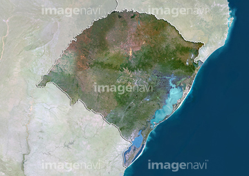
70081905
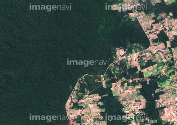
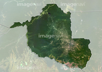
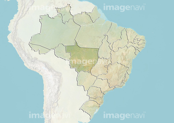
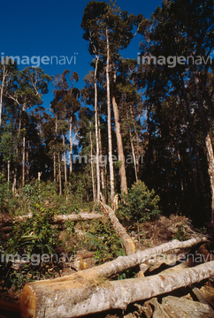
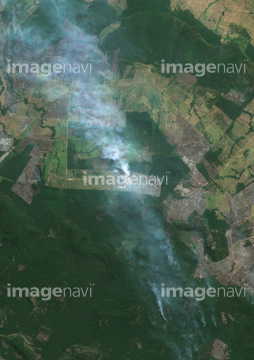
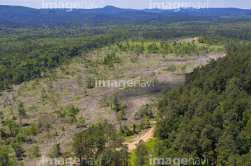
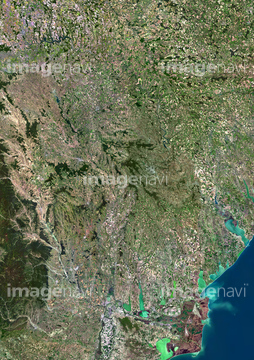
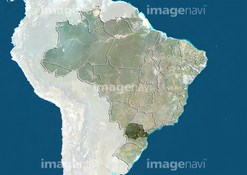
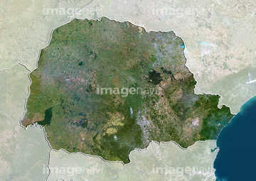
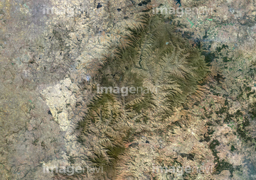
70081858
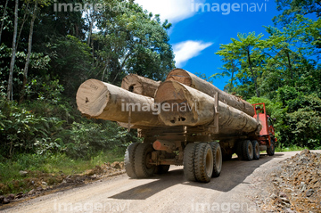
70081896
70082118
70082244
70082527
70082231
64085640
70081861

70082232
70081900
70081774
70082249
70082464
70082060
64056763
64071011
70081791
70081899
70082207
70081893
70082172
70082363
70082062
64026176

64098677

64098678

64072059

64072060
64016339
70082024
70082271
70081874
70082275
70081764
70081950
70082250
30391785
70082272
70125585
70082392
70082037
70082357
70081940
70082143

64057573
64259325
64259714

64259406
64259689
64259690
64259723
64016343
64016436
64172751
64259752
64259753
64035660

70082396
64026175
70082215
70082224
21530308
70082032
70082218
70082348
64183574
64183576
64008812
64042415
64016351
70082023
70082030

64259331
64259679
64016332
64065426


70082281
70082095


64259271
64259283
64259284
64259291
64259319
64259321
64259323
64259329
64259335
64259373
| 次ページ |
