HOME > ژتگ^ > ڈو‚蕨پEŒً’ت > Œً’تƒCƒپپ[ƒW > ’nگ}
10,000Œڈ‚جژتگ^‘fچق‚ھŒںچُ‚³‚ê‚ـ‚µ‚½پB
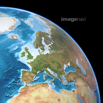
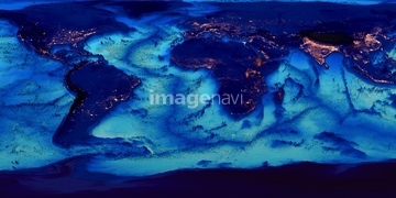
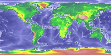
‚±‚جŒںچُŒ‹‰ت‚ة‚حپAƒ‰ƒ“ƒhƒTƒbƒg“ْ–{—ٌ“‡پAƒ‰ƒ“ƒhƒTƒbƒg‹مڈBپAƒ‰ƒ“ƒhƒTƒbƒg‘هچم•{پAƒ‰ƒ“ƒhƒTƒbƒgگ¢ٹE’nگ}پAƒ‰ƒ“ƒhƒTƒbƒg‹ك‹E’n•ûپAƒ‰ƒ“ƒhƒTƒbƒg“Œ‹ژü•س‚ب‚ا‚ھٹـ‚ـ‚ê‚ؤ‚¢‚ـ‚·پB

70571190

70571192

64075072

64075073
70571204

64105661

64014831

64067342

64067344

64074902
70571195
70571191

64057572

64053686
70289867

70571193
70571194

70571196
70571197
70571198

70571199
70571200
70571201
70571202
70571203


64067343

64075415
64243651


64146819

64059203
64011103


64014155

64014193

64014740

64105663


64210710

99074193
64026179
64026180

64065656
64067340

64014196

64163101

64210700

64057571

64057574

64057614

64075416
64072306

64146823
64146824
64146825
64146827
64146828
64146829
64008713
64011101
64052716

64011204

64088667

64116457

64116458

64106823
20531877
20531883

20531887

64075837
64011181

64146820


64220114

64060621
64016858

64016860

64016861

64016862

64016863

64016884
64016965
17201583
17237537
17237540
64085608
64085609
64085610
64188116
64072307
64072308
64023045
64023166
64023337
64023450
64023451
64023461
64023466
64023476
64023479
64024131

17200250
64215906
64215913

64057582

64057586

64057617

64067341
64064291
64064292
64064293
64064294

64040012

64040015
64011198
64011208

64011212

64011213

64011214

64011231


64106828


64011221

64011223

64011225

64011229

64041383

64041390

64011200

64011203

64011211

64011230

64103757


64009996
64009999

64010000
64010004

64010005
64010006

64011094

64011098
64011100

64086680
64079056
64079057
64050565
64024341

64016257

64098673

64098680
| ژںƒyپ[ƒW |
