HOME > 地図 > 地図・衛星写真 > 衛星写真 > 災害・気象現象
409件の地図素材が検索されました。
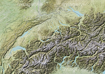
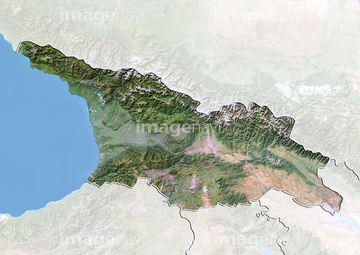
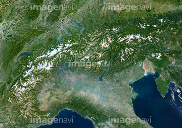
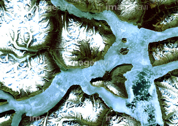
地図・衛星写真 > 衛星写真 > 災害・気象現象,ヨーロッパの地図素材は409件あります。この検索結果には、ウラジオストクの海氷、バルセロナ、アルル、ランドの森、マデリウ-ペラフィタ-クラーロル渓谷、ドーバー海峡などが含まれています。
63031429
63030015
63031534
63031536
63031584
63031331
63031115
63030757
63031899
63031360
63031900
63031475
63031486
63031840
63031328
63030021
63030740
63030342
63030787
63030348
63031843
63031526
63031838
63031841
63031901
63031898
63031842
63031837
64192838
64235338
64192648
64068269
64067564
64015496
20541221
64156068
64156066
64156067
64156069
63030508

64026874


64057048
63031583
63031582
63031543
63031352
63030358
63030307
64014722
63030813
63031593
63031592
63031625
63031601
63031458
64094286

64057052
63031743

63031581
63030354
63030868
63030901
63030059
63030478
63030357
63030751
63030345
63031351
64008734

64050255
64202148
20573520
64088740
64088734

64057060
63030692
64244405
64153521


53112517


53112513
53112514
53112516

64106455

64087823
51451483

51450788
51451056
51451378
51450780
51451539
51451037
63031719
63031867
63031902
63031684
64044790
63031335
63031336
63030038
63030360
64017080
64014739
63030961
63030958
| 次ページ |