HOME > 写真 > 自然・風景 > 宇宙 > 地球
10,000件の写真素材が検索されました。
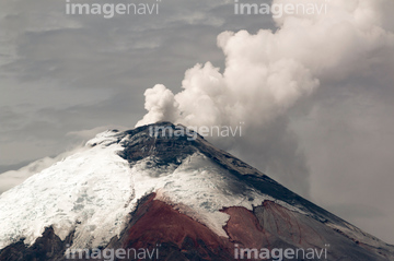
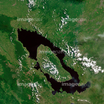
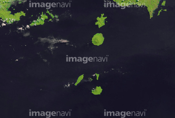
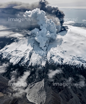
この検索結果には、Teide volcano,Canary Islands, ISS image、Soufriere Hills volcano erupting、Boiling mud pool、Santorini caldera, ISS image、Eruption of Mount Pelee, 1902、Mount Agung volcano in Indonesia, satellite imageなどが含まれています。


64015496
64235338

64053684


64050255

64041547
64096987

64015494
64123357
64123360

64073758


64051876
64087873


64086685
64106701
64068269

64113740
64113741
64113835
64107664
64047825
64105648
64124753


64087874
64063264

64047110
64088684
64015507
64259838
64113737
64015556
64015557
64160022
64113834
64190764

64086444
64067300
64047084

64059340

64059343
64059363


64253111

64253112

64053315


64088728

64102918
64090803
64042323

64042324
64042325
64130097
64130099
64211648

64214597

64087817


64091493

64098804

64098806

64098807

64098808


64053686


64041386

64041387

64041388


64041391

64041392

64041895

64040182

64040183

64040184


64075684
23994869
64096981
64023310

64067303

64044574
64015486
64164305
64164306
64164309
64164312
64164385
64164387
64044575

64045640

64045641
64045642

64045653

64045654

64045655

64057572

64057582

64057615

64041230
64075188
64075189

64075190
| 次ページ |
