HOME > 地図 > 地図・衛星写真 > 衛星写真 > 災害・気象現象
218件の地図素材が検索されました。
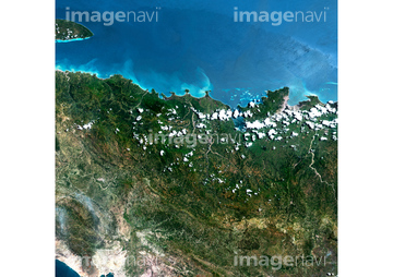
地図・衛星写真 > 衛星写真 > 災害・気象現象,ラテンアメリカの地図素材は218件あります。この検索結果には、ポルトープランス、ラ・アミスター国立公園、ガラパゴス諸島、アコンカグア、ダリエン国立公園、シアン・カアンなどが含まれています。
63030261
63030343
63030389
63030753
63031848
63031850
63030314
63031303
63031854
63031852
63031851

64014974

64014971
63030399
64037952
64096985
63030818
63031075
63031748
63031651
63031481
63030017
63030871
63030264

64188516

64188515

64188518
64188517

64097572
63030308
63030249
63031000


51450833
51450975
51451078
63031727
63031780
63031745
63031747

63031749
63031728
63031730
51424861

64049125
63031299
63031007
64014963

64014986
17200271
17200276
99046046

99046037

64152470
63031729
63031781
63031414
63031103
63031782
63030368
63030489
63030626

64243450
53112722
53112723
51451350
51450901
63031847
63031499
63031483
63031494
64015261
64011276
99021016
63031846
63031480
63031488
63031010
63031002
64102205
64194834
64156074
64156075
64156073
63031003

64094261


64049220

64049204
63031011
63031001
63031746
64262063
64262062

64094132

64192700
64109474
64012741

64014968

64121440
64253801
30094845

64115724
64082536
64123529
| 次ページ |