HOME > 地図 > 地図・衛星写真 > 古地図 > 世界の古地図
543件の地図素材が検索されました。
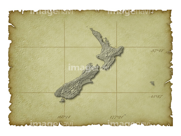
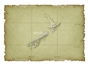
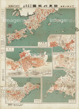
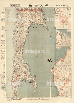
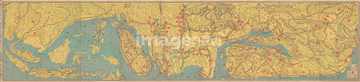
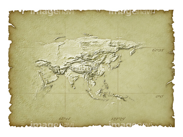
地図・衛星写真 > 古地図 > 世界の古地図の地図素材は543件あります。この検索結果には、ニュージーランド周辺地図、関東州全図、樺太全図、北アメリカ大陸、オーストラリア大陸、カナダ地図などが含まれています。
14301322
14301323
11830083
11830077
14301098
14301131
14301170
14301153
14301088
14301397
14301398
14301087
14301154
14301169
14301132
14301099
11830068
11830076
14301143
14301338
14301256
14301358
14301201
14301202
14301357
14301255
14301339
14301142
14301186
14301239
14301240
14301185
11830058
14301217
14301373
14301289
14301288
14301374
14301218
70125588

70102713
11830092
14301305
14301304


64055081

64052692

64052655


64055083

64055075

64055079

64055074

64052695
14301110
14301120
14301121
14301109
51410017
51410016

51410014

51405928


51410020


51405945

51405944

51405946

51405941

51405939

51405937

51410019

51405929

51410015

51405927

51422778

51422969

51422774
51405220
51422966
14300047

51423095
30047322

30047320
30047318

30047323


51422943

51422777


51422944
51422391

51422887

51422780

51422942
30047331
51422888
51417110

51414338

51414340

51414422

51414342

51414424

51414344

51414426

51414346

51414428

51414348

51414430

51414350

51414432

51414352

51414434

51414354

51414436

51414356

51414361

51414441

51414438

51414358

51414359

51414439

51414440

51414360

51414357

51414437

51414442

51414362

51414355

51414435

51414353

51414433

51414351

51414431

51414349

51414429

51414347

51414427

51414345

51414425

51414343

51414423

51414341

51414421
51414337

51414339
14301229
14301228

51421920

51421916
51417106

51411456
30047328

51421917

51421919
51417132
51417298
51417109


51421880

51421921

51421884

51421897

51421895

51421891

51421896

51421898

51421883

51421900

51421902

51421879

51421904

51421877
51417136
51417255
51417234
51417238
51417325
51417241
51417215
51417135
51417217

51411454

51411452
| 次ページ |