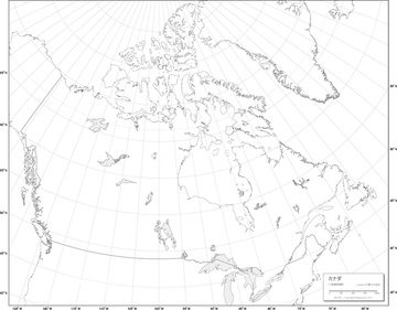
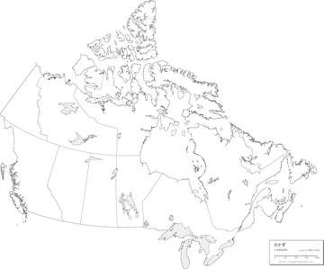
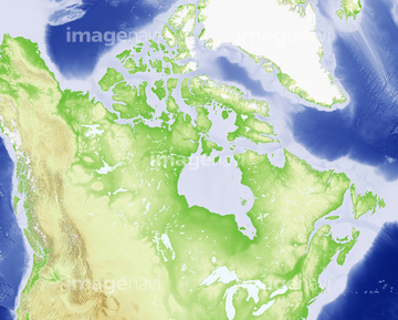
HOME > ژتگ^ > ’nگ}پE‰qگ¯ژتگ^ > گ¢ٹE‚ج’nگ} > –k•ؤ
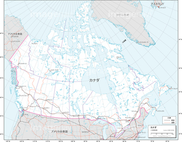
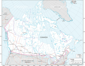
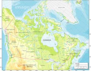
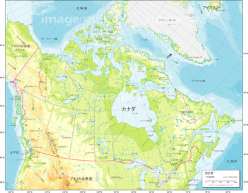
10,000Œڈ‚جژتگ^‘fچق‚ھŒںچُ‚³‚ê‚ـ‚µ‚½پB
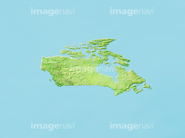
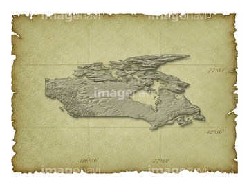
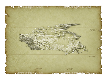
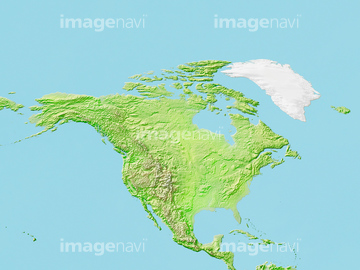
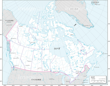
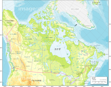
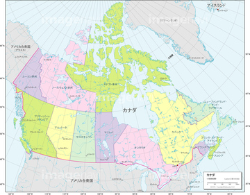
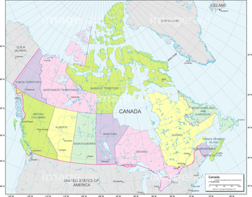
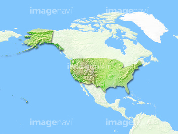
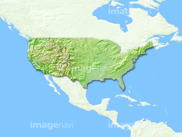
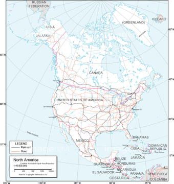
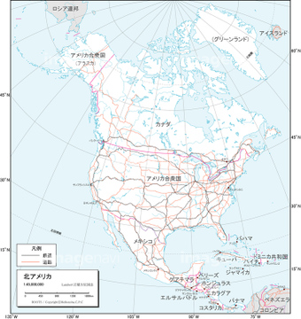
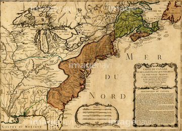
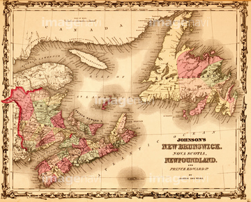
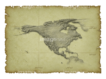
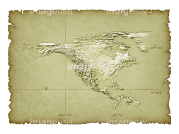
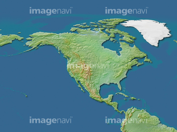
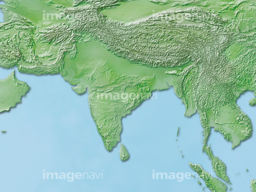
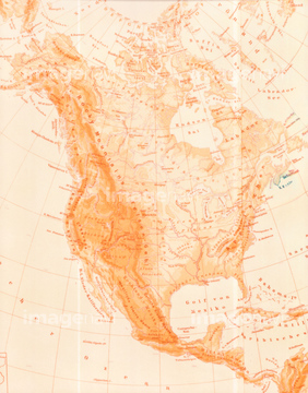
‚±‚جŒںچُŒ‹‰ت‚ة‚حپAƒJƒiƒ_’nگ}پAƒJƒiƒ_ژü•س’nگ}پAچ‘•تگ}_ƒJƒiƒ__”’’nگ}پAچ‘•تگ}_ƒJƒiƒ__’nگ¨گ}پAچ‘•تگ}_ƒJƒiƒ__چsگ‹و•ھگ}پA–kƒAƒپƒٹƒJ‘ه—¤‚ب‚ا‚ھٹـ‚ـ‚ê‚ؤ‚¢‚ـ‚·پB

14301164

14301159

14301160
14301161

14301162

14301163

14301165

14301166

14301168
14301169
14301170

14301155

14301156
14301157

14301158

14301167
19600470
19600742
19601000
19604395

29204759
30047325

29204767

14301089
14301095

14301097

14301375

14301376
14301377

14301378
14301379

14301380

14301381

14301382

14301383

14301384

14301385

14301386

14301387

14301388

14301389

14301390
14301391

14301392

14301393

14301394

14301395

14301396

16907874

51416738
30100596

10918546

41139634
19604487
19601662
51416734
51439552
51439553

41154579

30077276

51436026


51435810
14301098
14301099
14301090

14301091

14301092

14301093

14301094

14301096
51436631

14301182

14301198

14301252
51417194
41042059
19605207
19602726

19602761
19602796
19602831
19603502
19604653
19604654
19604927
19601271
19604133


41126950
19604488
19604492
19604496
19601663
19601667
19601671
70125588
51439673

51439755
51439762
51416733

51416735
14301148
51416739
51435811


14301368

14301369

14301370
14301257

14301258
14301259

14301260
19601636

70102713

14301122

14301130

14301346
14301179

14301180

14301181
14301195

14301196

14301197

14301199

14301212
14301213
14301241
14301242
14301243

14301244
14301249

14301250

14301251
14301253
51439632

14301294
14301295
14301296

14301297

14301301
14301303
14301270

14301313

14301314

14301315

14301316
14301317

14301318

14301319

14301320
14301321
14301187
14301188
14301189

14301190

14301203
14301204
14301205

14301206

14301045

14301046

14301047

14301069

14301070

14301071

14301072

14301073
70102712
63020007

11855254

64052655

10307362

51901326

14300062
51910872

10918565

10918585
19283225
51909610

51436080
51435696

41154505

41226036

41226040
14301397
14301398
10903461
16907902

14301175
| ژںƒyپ[ƒW |
