HOME > ژتگ^ > ’nگ}پE‰qگ¯ژتگ^ > گ¢ٹE‚ج’nگ} > ƒˆپ[ƒچƒbƒp
10,000Œڈ‚جژتگ^‘fچق‚ھŒںچُ‚³‚ê‚ـ‚µ‚½پB
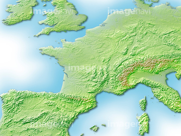
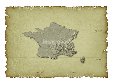
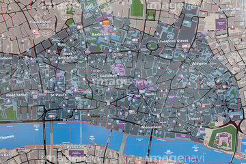
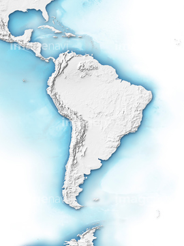
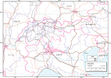
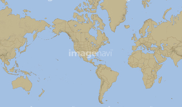
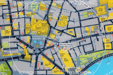
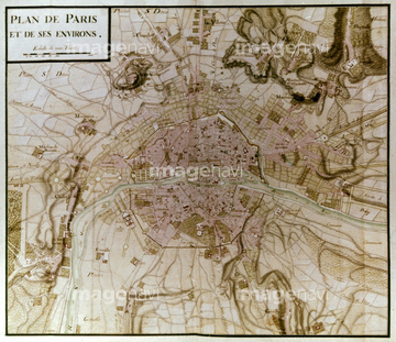
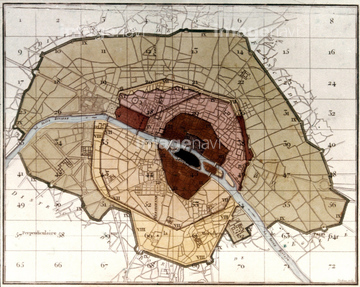
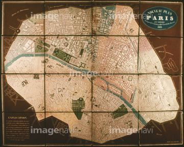
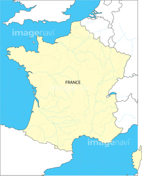
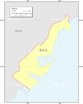
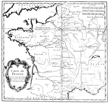
‚±‚جŒںچُŒ‹‰ت‚ة‚حپAƒtƒ‰ƒ“ƒX’nگ}پAƒtƒ‰ƒ“ƒXژü•س’nگ}پAƒCƒMƒٹƒX’nگ}پAƒhƒCƒc’nگ}پAƒCƒ“ƒh’nگ}پAƒCƒMƒٹƒXژü•س’nگ}‚ب‚ا‚ھٹـ‚ـ‚ê‚ؤ‚¢‚ـ‚·پB

14301198

14301195

14301196

14301197

14301199
14301187

14301188

14301189

14301190

14301191

14301192

14301193

14301194

14301200
14301201
14301202

14301370

14301214

14301252

14301368

14301369

14301212

14301213

14301071

14301072

14301073

14301086

14301097

14301130

14301394

14301203

14301204

14301205

14301206

14301301

14301141

14301108

14301207

14301208

14301209

14301210

14301216

14301069

14301070

14301166

14301182

14301152

14301095

14301335
51414337

51414338

51414339

51414340

51414343

51414344

51414347

51414348

51414349

51414350

51414351

51414353

51414354

51414355

51414356

51414357

51414358

51414359

51414360

51414361

51414421

51414422

51414423

51414424

51414425

51414426

51414427

51414428

51414429

51414430

51414431

51414432

51414433

51414434

51414435

51414436

51414437

51414438

51414439

51414440

51414441

51414442

14301119

14301139
14301217
14301218

14301359

14301360

14301361

14301362

14301363

14301364

14301365

14301366

14301367

14301371

14301372

14301211

14301215

14301083

14301084
70110865

14300070

14301063

14301064

14301065
14301150
19601647

14301285
30039259

14301094

14301127

14301128
51919955

51414341

51414342

51414345

51414346

51414352

51414362

14301082

14301148

51902926
51912791
51912934
51912935

14301066

14301067

14301068

14301373

14301374
16907880
19604352

19604353

70021795
51902585
70254837

30038097
14301257

14301258
14301259

14301260
63010573
63010574

63010575

63010576
63010577

63010578

63010579
63010580

63010581

63010582

63010589

63010590

63010591

63010592
63010646
63010647
63010648
63010693

14300068

11855256

14301078

14301270

14301354

14301356

14301089

14301122

14301346

14301375

14301376

14301377

14301378

14301379

14301380

14301381

14301382

14301383

14301384

14301385

14301386

14301387

14301388

14301389

14301390

14301391

14301392

14301393
| ژںƒyپ[ƒW |
