HOME > ژتگ^ > ’nگ}پE‰qگ¯ژتگ^ > گ¢ٹE‚ج’nگ} > ƒˆپ[ƒچƒbƒp
10,000Œڈ‚جژتگ^‘fچق‚ھŒںچُ‚³‚ê‚ـ‚µ‚½پB
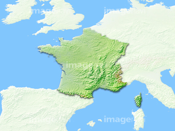
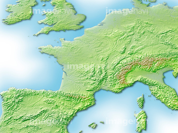
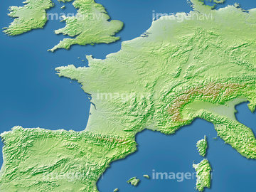
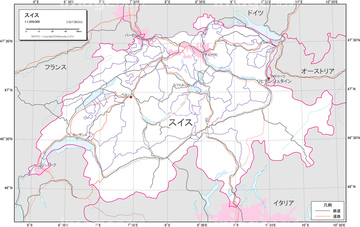
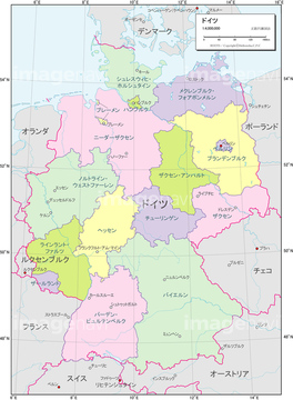
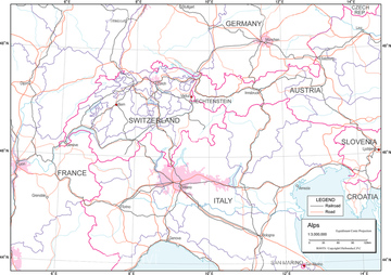
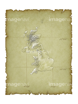
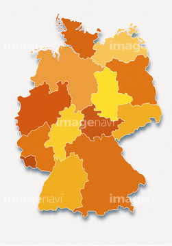
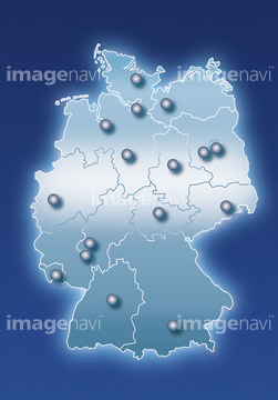
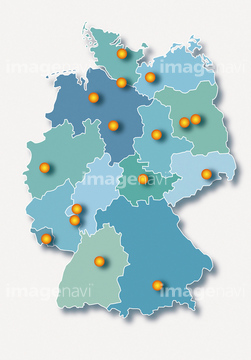
‚±‚جŒںچُŒ‹‰ت‚ة‚حپAƒhƒCƒcژü•س’nگ}پAƒhƒCƒc’nگ}پAƒtƒ‰ƒ“ƒXژü•س’nگ}پAƒtƒ‰ƒ“ƒX’nگ}پAƒCƒMƒٹƒXژü•س’nگ}پAƒCƒMƒٹƒX’nگ}‚ب‚ا‚ھٹـ‚ـ‚ê‚ؤ‚¢‚ـ‚·پB

14301213

14301212

14301203
14301204
14301205

14301206

14301207

14301208

14301209

14301210

14301214

14301216

14301211

14301215
14301217
14301218
14301195

14301196

14301197

14301198

14301199
14301187
14301188

14301189

14301190

14301368

14301369

14301370
19601647
16907881
14301191

14301192
14301193

14301194
14301200

41154547

41139646
19600419
19604599
19604620
19601760
19601775
19600952
19604472

29204770
14301082
51484968
14301201
14301202

14301359

14301360

14301361

14301362

14301363

14301364

14301365

14301366

14301367

14301371

14301372
14301257

14301258
14301259

14301260

14301270
14301241
14301242
14301243

14301244
14301249

14301250

14301251

14301252

14301253
19604612
19601767
16907780
16907781
16907911
16907912

64055083
19604479
19601654
19601655

40562977
19604623
19604624
19604625
19604630
19601778
19601779
19601780
19601785
30047331

51422887

14301373
14301374

10918539
10918540
10918606

10918607
10918608
51435895
51436340

14301133
14301134
14301135
14301136
14301137
14301138
14301139
14301140

14301141
14301148

41126963
51436402


51435720

51435721

51435722

51435723

51435724

51435725

51435726

51435727

51435728

51435729

51435730

51435731


51435734

51435735

51435738

51435739

51904920
19604600
19601761


70102713
19601223
19604085
51906135
51906138
51903324

14301078
14301079

14301080
14301081
14301083
14301084
14301085

14301086
51435736
19600820

14301089
14301090

14301091

14301092

14301093

14301094

14301095

14301096

14301097

14301122

14301123

14301124

14301125

14301126

14301127

14301128

14301129

14301130

14301346

14301375

14301376

14301377

14301378
14301379

14301380

14301381

14301382

14301383

14301384

14301385

14301386

14301387

14301388

14301389

14301390
14301391

14301392

14301393

14301394

14301395

14301396
30039259

40562978
| ژںƒyپ[ƒW |
