HOME > ژتگ^ > ’nگ}پE‰qگ¯ژتگ^ > گ¢ٹE‚ج’nگ} > ƒˆپ[ƒچƒbƒp
10,000Œڈ‚جژتگ^‘fچق‚ھŒںچُ‚³‚ê‚ـ‚µ‚½پB
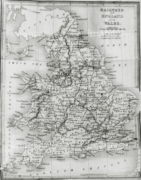
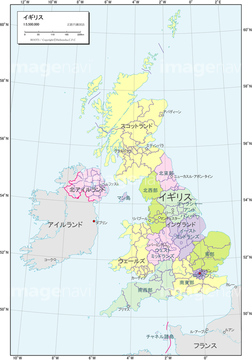
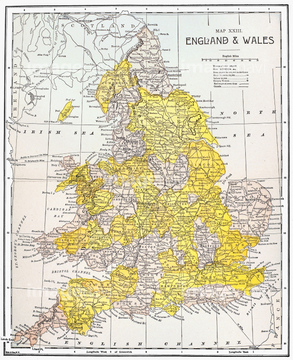
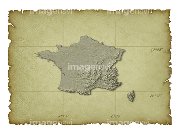
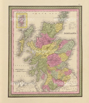
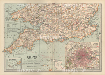
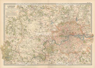
‚±‚جŒںچُŒ‹‰ت‚ة‚حپAƒCƒMƒٹƒXژü•س’nگ}پAƒCƒMƒٹƒX’nگ}پAƒtƒ‰ƒ“ƒX’nگ}پAƒCƒMƒٹƒX‚ج’nگ}پAچ‘•تگ}_ƒCƒMƒٹƒX_Œً’تگ}پAƒtƒ‰ƒ“ƒXژü•س’nگ}‚ب‚ا‚ھٹـ‚ـ‚ê‚ؤ‚¢‚ـ‚·پB

14301368

14301370

14301369

14301363

14301364

14301365

14301366

14301372

14301359
14301360
14301361

14301362
14301367
14301371
14301373
14301374
30038097

14301198

41154542
19604621
19601776
64082881
64082909
64083370
64083381
14301195

14301196

14301197
14301199

14301212
14301213


20932385
70254836
14301187
14301188
14301189
14301190
14301203
14301204
14301205
14301206
14301082
51904281
14301148
41455222
14301191

14301192
14301193
14301194
14301200
14301207

14301208
14301209

14301210

14301214
14301216
64082655
64082955
64083080
64083156

64083329
64083377
64083379
64083382
64083384
41455243
41455247
64082848

14301078

14301086
70254835
70254837
16907901
14301294
14301295
14301296
14301297

14301301
14301303
64082878
64083499
64083500

10918601
19600966
51906139
14301201
14301202
14301217
14301218
14301133
14301134
14301135
14301136
14301137
14301138
14301139
14301140

14301141
41455246
41455248
14301211

14301215
51458114
51435890
51436335
51417138
51417143
63010664
63010665
63010666

14301087
14301088
51422391
14301079
14301080
14301081
14301083
14301084
14301085

64083312
64083313
51435889
51436334
51435827


14301252
64082656
64082684
64082794
64082897
64083068
64083075
64083282
64083375
64083380
64083460
14301144
14301145
14301146
14301147
14301150

14301152
51489955
64082627
41455219
41455231
14301304
14301305
14301290
14301291
14301292
14301293
14301298

14301299

14301300
14301302
51903205

41139651

14301119
30038093
53101239

41151716
14301142
14301143
19604609
19604612
19604613
19604615
19601766
19601767
19601768
19601770

14301279
14301280
14301281

14301285
19604473
19601648

63010631

63010632
63010633
| ژںƒyپ[ƒW |
