HOME > 写真 > 地図・衛星写真 > 古地図 > 世界の古地図
10,000件の写真素材が検索されました。
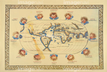
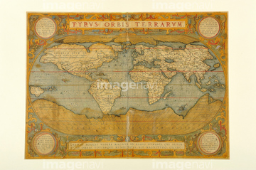
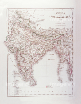
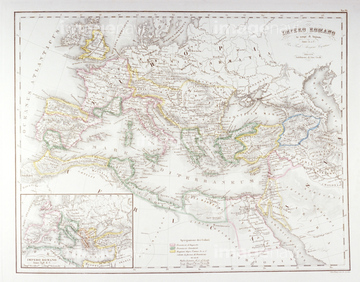
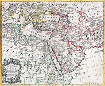
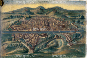
この検索結果には、イタリア地図、古地図、インドの古地図、古地図イメージ、Map of Asia 1602、Map of Peking Province, 16th centuryなどが含まれています。
30047322
30047318

30047320

30047323

64052692

64052655

30047325
30047317
30047338
30047335
30047326
30047331
30047328
30047334

70102713

64055079
30047319

64055081
70125588

51435514
51435515

64055077

64055078

70272646
70102711
70102712

70125589

10307301

10307351

10307357

64055082

64055073

64052695

64055074

64055083
30047321
30047337

51423095

51405939

51405927

64052698

51405937

51410014

51405944

10122909

10307331

10307344

10307345

10307349

10307362

51411446

64052693

64055075

51421879

51421880
70125587

51411512
51414337

51414338

51414339

51414340

51414343

51414344

51414347

51414348

51414349

51414350

51414351

51414353

51414354

51414355

51414356

51414357

51414358

51414359

51414360

51414361

51414421

51414422

51414423

51414424

51414425

51414426

51414427

51414428

51414429

51414430

51414431

51414432

51414433

51414434

51414435

51414436

51414437

51414438

51414439

51414440

51414441

51414442

64052691

10307358

10307359

64052702
11830077
51422966
51435538
11830057
11830001
11830007
11830010
11830011
11830014
11830015
11830017
11830019
11830023
11830024
11830030
11830037
11830039
11830040
11830041
11830045
11830054
11830078
11830082
11830086
11830087
11830088
70097066
70097072
70097073
70097075
70097076
70097077

51422774
19283281

51421621

51410016
70272644
70272645


51405928

51405929


51405941

51405945

51405946

51410015

51410019

51410020

70272647

10307320

10307332

10307334

10307335

10307348

10307315

10307323

10307356

10307360
11830092
51437249
51437259
51435518
51435520

10307361
11830068
11830076

64055076

51414341

51414342

51414345

51414346

51414352

51414362
51405220

51411456

10307308
16907795
16907906

51411445

51411447

51411453

51411454

51411455

51411466

51411467

51411469

51411470

51411503

51411516
| 次ページ |
