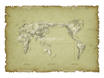
HOME > 写真 > 地図・衛星写真 > 古地図 > 世界の古地図
10,000件の写真素材が検索されました。
この検索結果には、Bses Alpes 1850、Ardennes 1850、Ariege 1850、Aube 1850、Calvados 1850、Cantal 1850などが含まれています。
30047317
30047319
30047321
30047318

30047320
30047322

30047323
30047326


51414357
30047331

64052655

64052692
30047308
51414337

51414338

51414339

51414340

51414341

51414342

51414343

51414344

51414345

51414346

51414347

51414348

51414349

51414350

51414351

51414352

51414353

51414354

51414355

51414356

51414358

51414359

51414360

51414361

51414362

51414421

51414422

51414423

51414424

51414425

51414426

51414427

51414428

51414429

51414430

51414431

51414432

51414433

51414434

51414435

51414436

51414437

51414438

51414439

51414440

51414441

51414442
30047334
30047335
30047338
70102711
70102712

70102713

70125589
30047325

64052695

64055073

64055074

64055075

64055079

64055081

64055082

64055083
70125587
70125588
51435764
40534592
40534593

21851935

64052698
30036737
30047328
30047337

10122909

10307301

10307315
10307316
10307317

10307320

10307323
10307330

10307331

10307332

10307334

10307335

10307344

10307345

10307348

10307349

10307351

10307356

10307357

10307360

10307362
10307329

10307361
14301201
14301202

64052702
14301074
14301075
14301076
14301077

11830001
11830002
11830003
11830004
11830005
11830006
11830007
11830008
11830009
11830010
11830011
11830014
11830015
11830017
11830018
11830019
11830022
11830023
11830024
11830025
11830026
11830027
11830029
11830030
11830031
11830032
11830033
11830037
11830039
11830040
11830041
11830043
11830044
11830045
11830048
11830049
11830054
11830057
11830077
11830078
11830079

11830080
11830081
11830082
11830084
11830085
11830086
11830087
11830088
11830089

64052691
70097066
70097071
70097072
70097073
70097074
70097075
70097076
70097077
70097078
70097079

70097080

21851934

51437213


51422969
11830107
51436337
51435892
10307302
10307303
10307305
10307307

10307308
10307309
10307310
| 次ページ |
