HOME > 写真 > 地図・衛星写真 > 古地図 > 世界の古地図
10,000件の写真素材が検索されました。
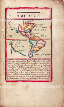
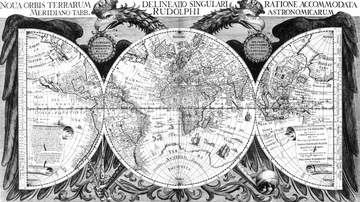
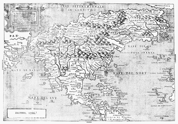
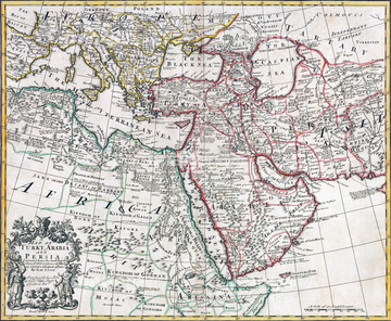
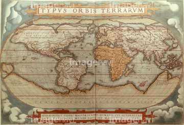
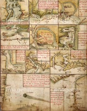
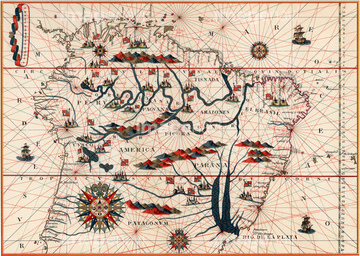
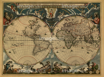
この検索結果には、Portuguese Map of Brazil's Amazon - 1630、Trevise in the Italian Po Valley - 1700、Portuguese map of the South Pacific - 1630、Map of the world, 17th century、America 1600、Nova Orbis Tabula 1680などが含まれています。

51411449

51411448

51411513

51411465

51411504

51411511

51411444

51411445

51411446

51411447

51411453

51411454

51411455

51411466

51411467

51411469

51411470

51411503

51411516

51411457

51411459

51411468

51411505

51411506

51411508

51411509

51411523

51411524

51411452


51411461

51411462

51411464

51411502

51411512


51411517

51411518

51411519

51411520


51411451

51411460

51411522

51411463

51411521


51411456
51411507


64149791

51405941

51405946

51410014

51410015

51410019

64055083


51435930
64089037
64045004

64052692


51436182


51902365
51903218
51903029
51904052

51435535

64052655

51405939

64055082
51903609


51405937

51435740

64055081

51430900

51906147

51435747


51436112

51436287

51436290

51436398

51436414


51436129

51437221

51901369


64055079
51902605

51424030

51422966
51902154

51405927

51405928

51405929


51405944

51405945

51410020
51436691

51435722

51435723

51435730

51435739
64047300

51436380
64245773

64055077

51435724

51435725

51435731

51435735
51417078
51417097
51417099
51417102
51417114


51436317


51436229
51426600

51436308


51436205


51436021

51436026

51436074

51436111

51436130

51436153

51436158

51436166

51436315

51436319

51435741
51903263

51435921

51435734


51436174


51436391


64052702
51405220
51435529

51422943

51422944
51422969
51422391

51422840
51436359
51430890
64046155
64046156


51422778
51417307
64042279
64042280
| 次ページ |
