HOME > 写真 > 地図・衛星写真 > 古地図 > 世界の古地図
10,000件の写真素材が検索されました。
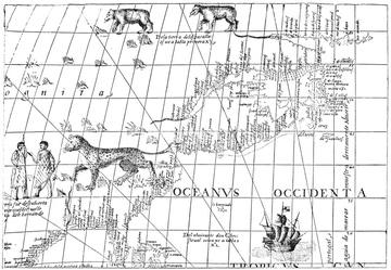
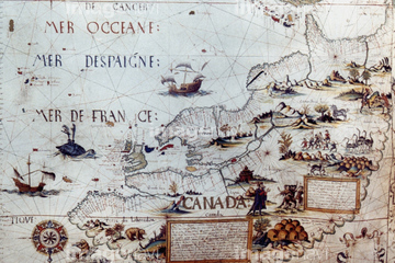
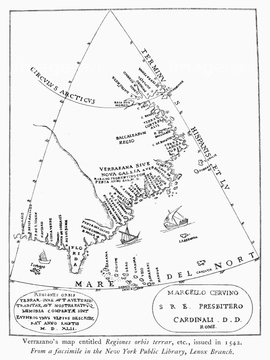
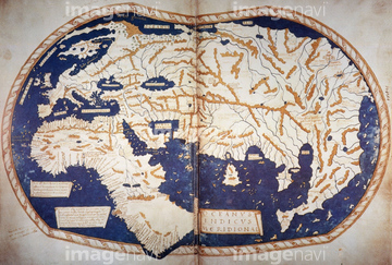
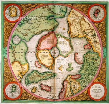
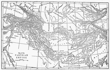
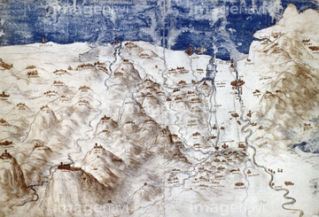
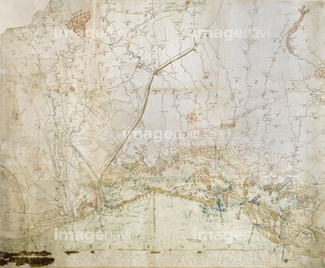
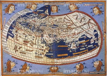
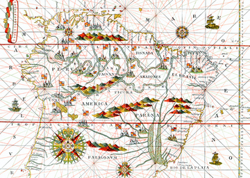
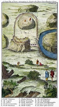
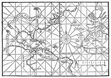
この検索結果には、WESTERN HEMISPHERE, 1576.、VIRGINIA COMPANY MAP, c1607.、AZORES MAP, c1584.、CABOT: NEW WORLD MAP, 1544.、NORTH AMERICA: MAP, 1550.、VERRAZZANO: MAP, 1542.などが含まれています。
51411507

51411444

51411445

51411446

51411447

51411451

51411453

51411454

51411455

51411460

51411466

51411467

51411469

51411470

51411503

51411516

51411522

51411448

51411457

51411459

51411463

51411468

51411505

51411506

51411508

51411509

51411513

51411521

51411523

51411524

51411449

51411452


51411461

51411462

51411464

51411465

51411502

51411504


51411511

51411512


51411517

51411518

51411519

51411520


51411456
51903609
51903029
51903218
51904052
51902365
51906147
51901369
51902605
64245773
51903263
64046155
64046156
64042279
64042280
64042282
64042283
64042284
64042285
51901286
51902239
64050950
64089037

64149791
51913594
51901141
51902843
51902397
64173142
51903264
51903477
51900819
51902851
51909056
51903381
51904118
51903953
64045004
51901354
51903265
51905370
51902154
51906178
64217395
51913530
51906148

51903315
51903316
51903328
64046159
51436229

51912803
51901293
51901446
51900818
51906137
51907059
51909012
51909017
51906157
64047300
64046166
51903086
51902175
51903418
51902585
51902325
51903834
51904034
51904110
51905037
51905038
51906135
51906136
51906138

51906163
51906170
52100872
51906155
51901287
51909018
51909016
51435529
51901091
51901092
64046157
51993845
51901370
51903924
51902748
51903213
51903084
51903476
51903829
51902037
51489955
64191580
51903205
51904281
51904282
51906139
51906140
51930910
51900830
51904087
51904088
51904239
51904283
51904929
51435598
51435631
51435689
51426600
51435947
51902870
51912614
51902749
64044503
51913056
51906158
51436140
64059896
51905469
51902052
64044993
51904899
51903060
51903421
51933141

51435514
51435515
51436141
51901344
51901551

51902926
51903214
51903362
| 次ページ |
