HOME > 写真 > 地図・衛星写真 > 古地図 > 世界の古地図
10,000件の写真素材が検索されました。
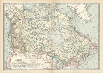
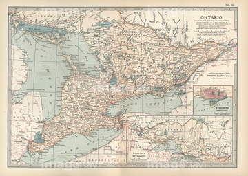
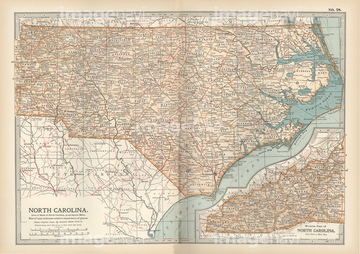
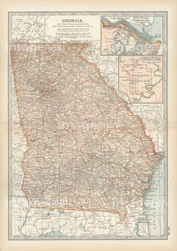
この検索結果には、Map of Canada、Map of Ontario, Canada、Map of North Carolina、Map of Georgia、Map of Louisiana、Map of eastern Texasなどが含まれています。

51422774
51422776


51422778
51435770

51422780

51411459
51417106
51435911
51436358

51411504

51411511

51417168
51417171

51436216

51436651

51422887

51417134


51421920

51405939

51423077

51411502

51411512
51422966
51435695
51417100
51417101
51417135
51417136
51417140
51417141
51417142
51417143
51417148
51417149
51417150
51417151
51417164
51417178
51417182
51417184
51417190
51417192
51417194
51417211
51417213
51417221
51417222
51417245
51417246
51417250
51417253
51417255
51417262
51417266
51417275
51417285
51417321

64055079

64055082

64055073

64052655

64052691

64052692
51417137
51417138
51417144
51417145
51417154
51417159
51417208
51417293
51417294

64055083

51417165
51417175
51417325
51435610
51435876
51436348
51435903
51436353

51435846

51414338

51414339

51414340

51414341

51414342

51414343

51414344

51414345

51414346

51414347

51414348

51414349

51414350

51414351

51414352

51414353

51414354

51414355

51414356

51414357

51414358

51414359

51414360

51414361

51414362

51414421

51414422

51414423

51414424

51414425

51414426

51414427

51414428

51414429

51414430

51414431

51414432

51414433

51414434

51414435

51414436

51414437

51414438

51414439

51414440

51414441

51414442

51423095
51435840
51436364


51405927

51405928

51405929


51405937

51405941

51405944

51405945

51405946

51410014

51410015

51410019

51410020
51430884
51430889
51405220

51411444

51411445

51411446

51411447

51411453

51411454

51411455

51411456

51411466

51411467

51411469

51411470

51411503

51411516

51422942

51422943

51422944
51422969

51411448

51411457

51411468
| 次ページ |
