HOME > 写真 > 地図・衛星写真 > 古地図 > 世界の古地図
10,000件の写真素材が検索されました。
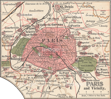
この検索結果には、National Map of the Territories of the United Stat…、Map of the United States, British Provinces & Mexi…、Map of Jerusalem、Africa - 1844、Africa - 1804、Africa - 1849などが含まれています。

51422774

51422776

51422778

51422780
51435911
51436358

51411459

51411504

51411511

51436216
51423077

64055079

51436365


51405939
51436364

51435610
51436313
51435521


51435908
51436354


51421920

51436651

51411502

51411512

64055082
51435770

64055073

64052655

64052692

64055077

51422887
51435844


51417134
51435876


51417096
51435906
51436164
51436357

51414338

51414339

51414340

51414343

51414344

51414347

51414348

51414349

51414350

51414351

51414353

51414354

51414355

51414356

51414357

51414358

51414359

51414360

51414361

51414421

51414422

51414423

51414424

51414425

51414426

51414427

51414428

51414429

51414430

51414431

51414432

51414433

51414434

51414435

51414436

51414437

51414438

51414439

51414440

51414441

51414442

51423095

51405927

51405928

51405929


51405937

51405941

51405944

51405945

51405946

51410014

51410015

51410019

51410020
51417174

40544552
40544553

51435563


51435695
51405220

51411456

64052691

51411444

51411445

51411446

51411447

51411453

51411454

51411455

51411466

51411467

51411469

51411470

51411503

51411516

51422943

51422944
51422969

51411448

51411457

51411468

51411505

51411506

51411508

51411509

51411513

51411523

51411524

64055078
51422966
51435909
51436355
30047318

64055074

51411449

51411452


51411461

51411462

51411464

51411465


51411517

51411518

51411519

51411520
51430884


51435838

64055081

64055083
51422779

51422843
51435846
51435637

51422842
51417299
51436159
51435845

51414341

51414342

51414345

51414346

51414352

51414362

64052695
51417298

51435751
51417072
51417109
| 次ページ |
