HOME > 写真 > 地図・衛星写真 > 古地図 > 世界の古地図
10,000件の写真素材が検索されました。
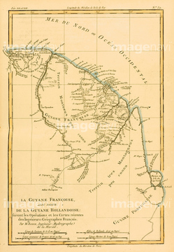
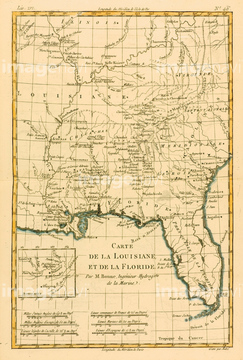
この検索結果には、Map of West Africa、Map of World、Map of French Guyana with part of Dutch Guyana、Map of China and Japan、Map of Louisianna and Florida、Map of Spain and Portugalなどが含まれています。
51422940


51421920

51422942

51422943

51422944

51422887

51422842

51422843

51421916
51421908

51421919

51421917


51436268


51436271


51421877

51421879

51421880

51421883

51421884

51421885

51421888

51421889

51421890

51421891

51421894

51421895

51421896

51421897

51421898

51421899

51421900

51421901

51421902

51421904

51421905

51421906

51421921

51421922

51421882
51421892

51421907

51422839

51422840

51422841

51421621

51422888

51436281

51436264

51436265


51436278

51436280

51422778

51436273


64052655

64052692


51405937


51421923
51435836

64052695


51422780

51436058

51436064

51436261


51436294
51417106
51421887

51424030

51424033

51435946

64052691
51421912
51421910

51410014

51405944
51417096
51435569
51942475
51422776

51422774


51417161
51417237
51417238
51437206

51436129

51422156
51422878
51436070

51424032

51421591


51411465

51411448

51411513

51411449

51411504

51411511

51417134
51422391

51423095
51435950
51435955

64052693

51410015

51410019

51410020

51405927

51405928

51405929


51405939

51405941

51405945

51405946

64052702
51439337
51439338
51439339

64055077

64083420

51459589

64055078
51417236

53132940

53133038

64083449

64083504
51417072
51417078
51417097
| 次ページ |
