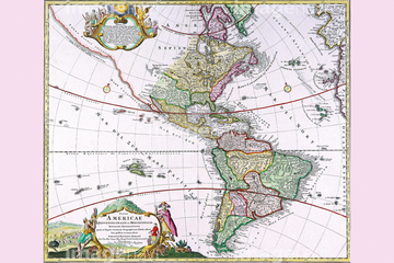
HOME > 写真 > 地図・衛星写真 > 古地図 > 世界の古地図
10,000件の写真素材が検索されました。
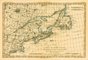
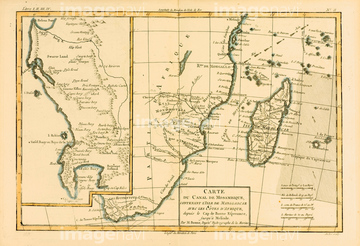
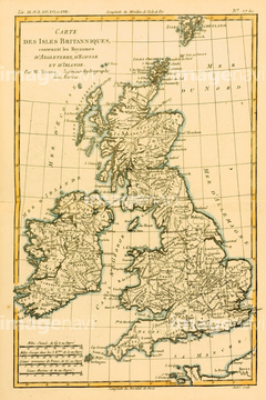
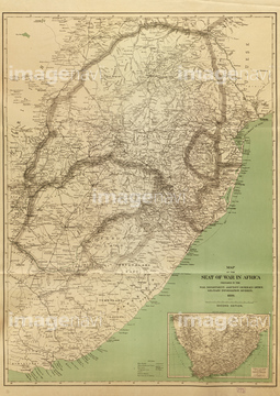
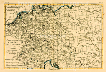
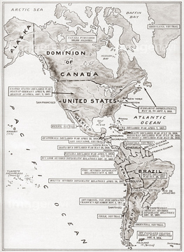
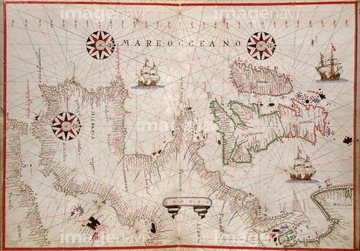
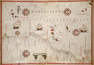
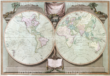
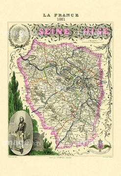
この検索結果には、Map of Southern Africa and Madagascar、Map of Southern Brazil、Map of Southern India、Map of Southern Mexico、Map of Spain and Portugal、Map of The British Islesなどが含まれています。
51423140

51423139

51421923

51421922
53133480
51458936


51421877

51421879

51421880

51421882

51421883

51421884

51421885

51421888

51421889

51421890

51421891
51421892

51421894

51421895

51421896

51421897

51421898

51421899

51421900

51421901

51421902

51421904

51421905

51421906

51421907
51421908


51421916

51421917

51421919

51421920

51421921


51422839

51422840

51422841

51422842

51422843
51920689
51425502
51430883
53133322
51920842
51436149
51421887
51920649
51920734
51994741
53133251
51920245
51920266
51920342
51920650
51920651
51920652
51920653
51920654
51917366
51485880
53133321

51430896
51428838
51428839
51428840
51428841
51428842
51428843
51428844
51428845
51428846
51428847
51428848
51428849
51428850
51428851
51428852
51428853
51428854
51428855
51428856
51428857
51428858
51428859
51428860


51484202
51436209

51421910
51421912
51920499
51920845
51920741
51920712
51920713
51920737
51920850
51920851

52100293
53133315
53133317
53133518
| 次ページ |
