HOME > 写真 > 地図・衛星写真 > 衛星写真 > 災害・気象現象
10,000件の写真素材が検索されました。
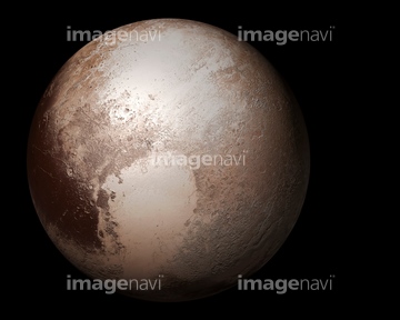
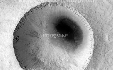
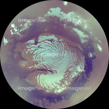
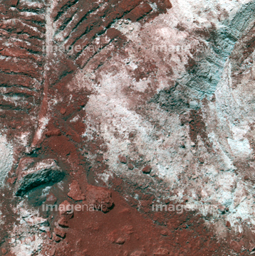
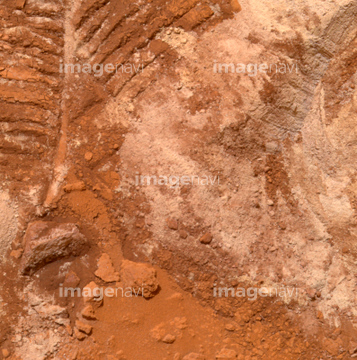
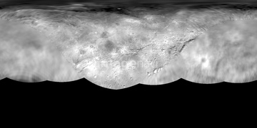
この検索結果には、Argyre impact basin on Mars、Lunar South Pole、Surface of Titan, Huygens images、Surface of Titan, Huygens image、Gulf Stream ocean temperature、Charon, New Horizons imageなどが含まれています。
51424861
51424877


64139867

64082370
64044479
64082371
51424318
64068824
64048835
64023310
64070923
64070924

64076043
64076044
64073778
64206046
64219594
64040662
64040857
64053503
64053504
64053505

64040205
64100170
64100607
64097668
17200271

64014700

64040007

64040009

64040010

64040011

64040012

64040013

64040014

64040015

64040016
64233307
64097324
64088901

64011903
20523772
17257869
17237119
17237124
64060396
30029260
64075540
64231538


64259353

64041386

64041387

64041388
51425288


64086682

64014968
64023142
64023144
64023149
64023151
64023163
64023168
64023292
64093947
64128466
64212775
64236109
64242037
64216235
64235139
64100606
64073777
64097562

17200234
64044480
64044481
64206047
64012051
64012052
64012053

64057998
64203006
64203008
64203010
64203011
64203012
64203013
64203019
64203021
64203022
64203023
64203024
64097665
64053724
64109745
64109747
64109750
64109761
64109763
64109766
64097978
64064281
64024500
64053721
64053722
64086657

64066734

64040008

64074792

64074793

64014670

64089706

64152500
64043845
64043851
64222417
64023143
64023244
64023245
64052123

64116457

64116458

64087874

64091499
64100270
64102199
| 次ページ |
