HOME > 写真 > 地図・衛星写真 > 衛星写真 > 災害・気象現象
10,000件の写真素材が検索されました。
この検索結果には、Martian craters, satellite image、The Moon from space, artwork、Mars, Mariner 7 image、Mariner crater on Mars, Mariner 4 image、Martian surface, Mariner 7 image、Earth and Moon from Saturn, Cassini imageなどが含まれています。
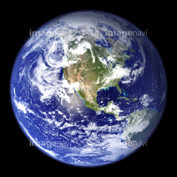
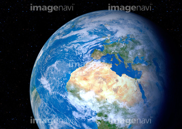
51424877
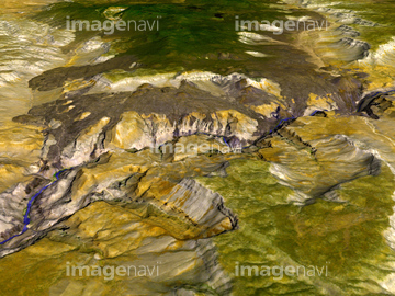

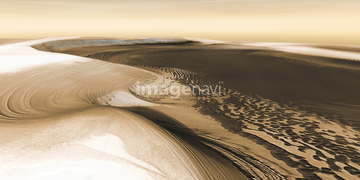
51424861

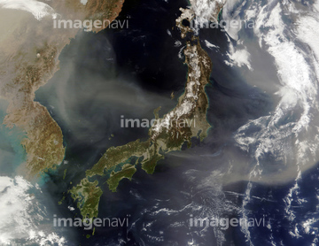
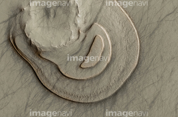
20523298
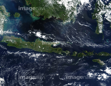
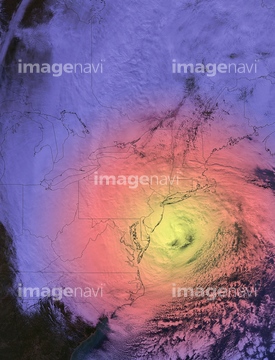
20523300
64044479
64047420
64047422
64203012
51425288

64082370

64040015
64023163

64068824
64070923
64070924
64235338
64040662
64040857
64043835
64076043
64076044
64206046
64219594

64130097
64130099
64023144
64023142
64023168
64100170
64082371
64078856
64023292

64040012
64097324
64233307
64048835
64088901
64097668
64011903
64023101
64023103
64023104
64023310
17237119
17237124
20523772
17257869

64014670
64047425
64060396
64073778
64075540
64260295
64260296
20523776
30047051
64177722

64087817

64072485

64072486

64072491

64053684
64094266
64094267
64094268
64094269
64094283
64094287
64094288
64094289
64094293

64072484

64072487


64072492


64072494

64041895

64057998
64128601
64128602
64128605
64128466
64093947
64023149
64023151
64236109
64242037
64216235

64040011

64040016
64044480
64044481
64097665
64109745
64109761
64203011
64203019
64203021
64203022
64203023
64097978
64053724
64086657
64053721
64053722
64064281
64024500
64203004
64203007
64203016

64011207
64056802
64056803
64056806
64056807
64056808
64056809
64056810
64056816
64056817
64023097
64023102
64023105
64023106
| 次ページ |
