HOME > 写真 > 地図・衛星写真 > 衛星写真 > 災害・気象現象
10,000件の写真素材が検索されました。
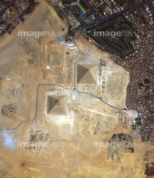
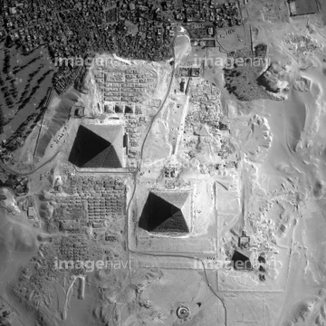
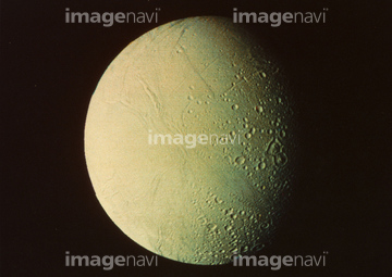
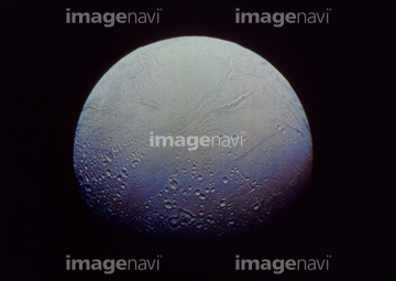
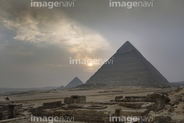
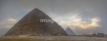
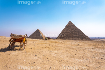
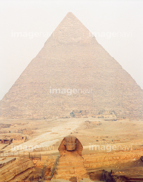
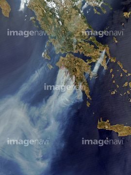
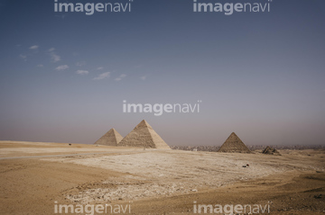
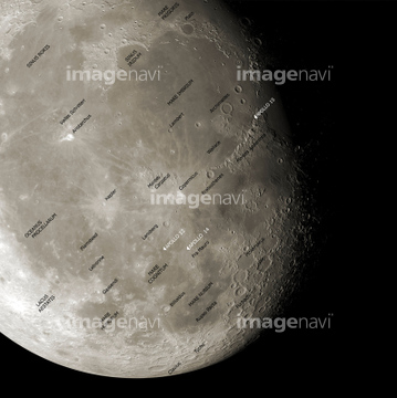
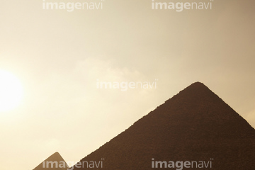
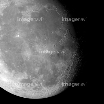
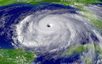
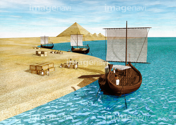
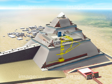
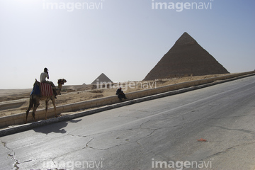
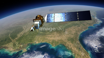
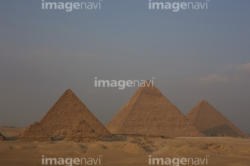
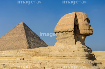
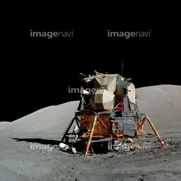
この検索結果には、土星の衛星エンケラドス(NASA提供)、SPACE SHUTTLE CHALLENGER.、CloudSat satellite、Fires over Greece in the summer of 2008. Satellite…、Egypt, Cairo, Ancient Giza pyramids、The Moon from space, artworkなどが含まれています。

51424877
99021089
99021090
64174206
64174207
64075838
52228269
51424318

51424861
24672135
51979616

64220039
64044479
64219594
51988201

64074871
24672130
64076043

64040011

64040016
52228271

64075839

64075841
53118752
16949211
30090717


64082370
64206046
64064281
64016859
99046036

64040012

64040015

64066734

64075837
64075840

17200234
52228268
64076044

64025529
17201628
64073778

64074792


64084875
64023603
20993033
17237119
17237124
17257869
20523772
64214826
20993034
64074825

64040007
16949231
16949252
16949261
16949263

51425288
64068180
64047610
64048359

64043123

64086393
64053691
64053692
64008446
64086657

64084877
64053721
64053722
64024500
64011903
64246506
51988611
64242037
64248083
64025238
64025262
30394872
52228272
64025787
64213125

64040010

64040013

64040014
64222736
64053596

64014670
64191358
16949224

63030107
16949220
16949230
64086398
64044480
64044481
99046146
63031114
18137930
64102308
16949214
64025991
16949198
16949218
16949221
16949225
16949227
16949228
16949235
16949236
16949258
16949259
| 次ページ |
