HOME > 写真 > 地図・衛星写真 > 衛星写真 > 災害・気象現象
10,000件の写真素材が検索されました。
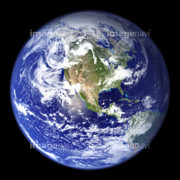
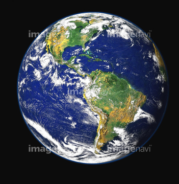
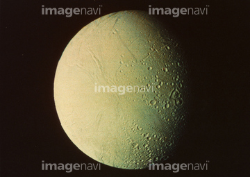
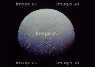
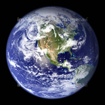
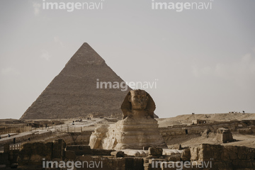
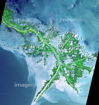
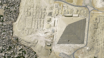
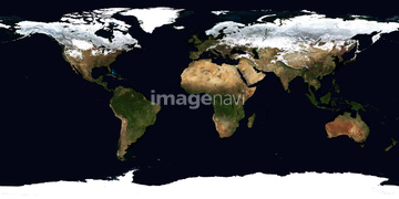
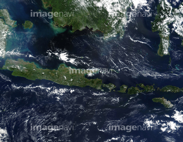
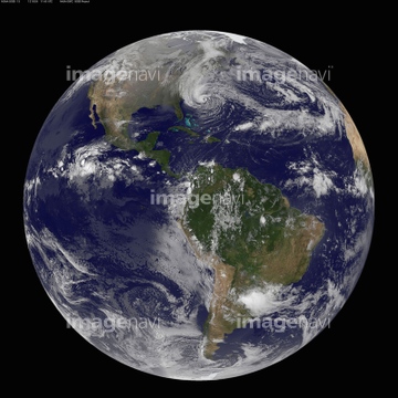
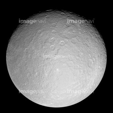
この検索結果には、土星の衛星エンケラドス(NASA提供)、True-colour satellite image of Indonesia mid-May 2…、Blue Marble image of Earth (2005)、宇宙から見た地球(NASA提供)、Atlantic Ocean, satellite image、Pacific Ocean, satellite imageなどが含まれています。
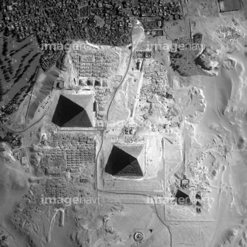

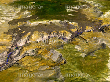
51424877
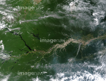
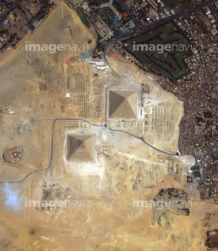
99021089
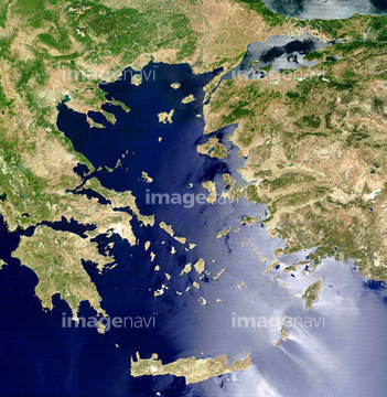
99021090
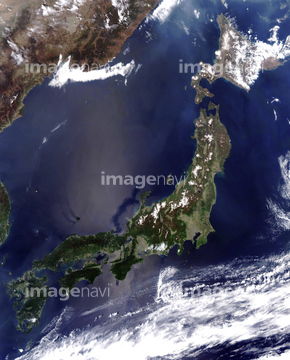
64174206
64174207
64075838
64044479
64076043

64040011

64040016
52228269
53118752

24672135
51979616

64220039
64219594

17200234
99046036

64040012

64040015

64066734
24672130
51424318
51424861
52228271
64076044
64073778

64074792
16949211
20993034


64040007

64082370

64074871
64206046
51988201
64064281
64016859

64075837

64075839
64075840

64075841
52228268

64086393
64011903
64025529
64086657
17201628
30090717

64040010

64040013

64040014
20993033
17237119
17237124
17257869
20523772
64191358
64075540
64023722
64068180
64047610
64048359

64043123
64055103
64053739
64053742
64025256
64053691
64053692
30300901


64084875

64084877
64053721
64053722
64024500
64023603

64089706
64183478
64073777
64214826
52228272
64074825
51425634
64213125
64053596

16949224

16949220
16949230
16949231
16949252
16949261
16949263
64075533

64040009

64074793
64044480
64044481
64023142
18137930
51425288
64047429
16949214
64191357
17201578
51990238
64060362
64213131
64216233
64008446
64086681
| 次ページ |
