HOME > 写真 > 地図・衛星写真 > 衛星写真 > 災害・気象現象
10,000件の写真素材が検索されました。
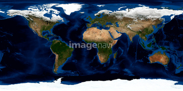
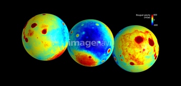
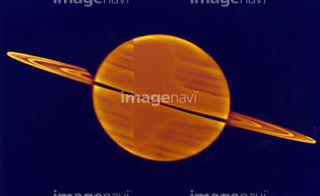
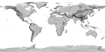
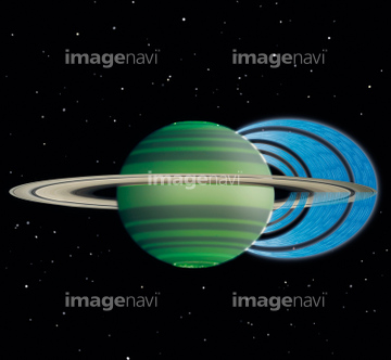
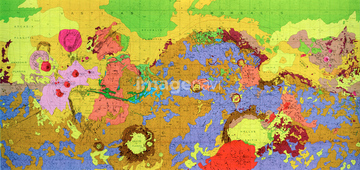
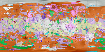
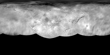
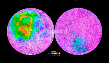
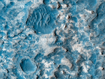
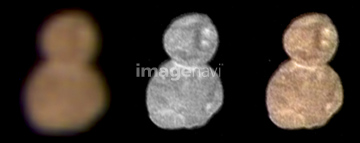
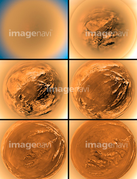
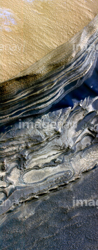
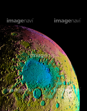
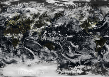
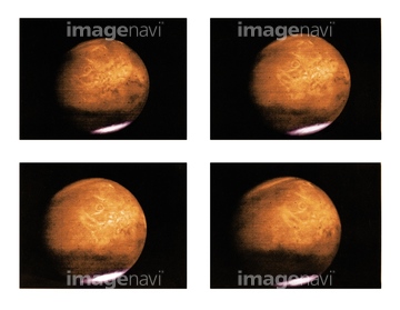
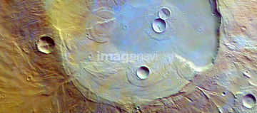
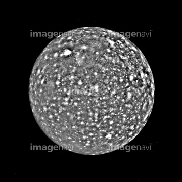
この検索結果には、Whole Earth, satellite image、Whole Earth, political map、Saturn's moons Janus and Epimetheus、Mars, geologic map、Io, geologic map、World land cover and sea floor topographyなどが含まれています。
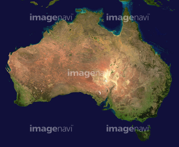
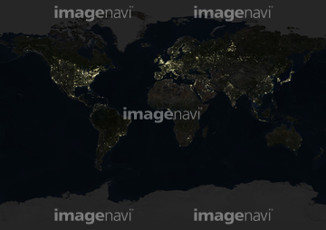
51424861
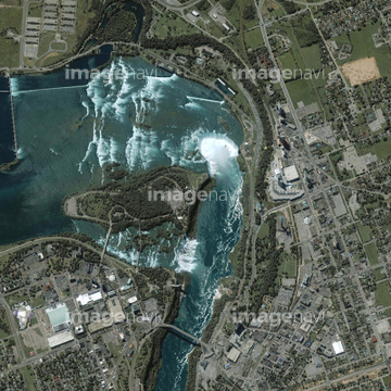
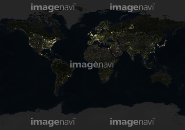
51424877


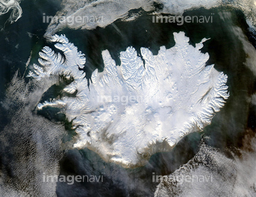
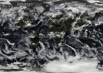
64082370

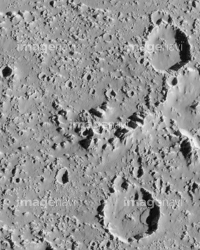
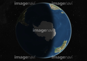
51979715

64014421
51979550

64044479
64235139
64203019
64203024
51988201
51979616
30035694
30035695
64065663
64065664
64065665
64082371
64236109
64216235

64014120

64011221

64011223

64011225

64011229

64152500
64056806
64056816

64102199
64091499
64068824
64203021
64064273

64023310
64070923
64070924
64077604

51979636
51979637
51979641
64052306
64062718
64063098

64076043
64076044
64206046
64219594
64073778
64053503
64023163
64040662
64040857


64083199
64100170
64100607
64100606
64106149
64086657

64206047
64203006
64203008
64203010
64203011
64203012
64203013
64203022
64203023
64102191
64053491

64041895
64023110
64023135
64023136
64088901
64233307
64097324
64048835

64089706
64011903
64046247
17237119
17237124
17257869
20523772

64043123

64041390
64262433
64214492

64041391
64023197
64023203
64023204
64023207

64100270
64047425
64056817
64068383
64068385
64060396
| 次ページ |
