HOME > 写真 > 地図・衛星写真 > 衛星写真 > 災害・気象現象
10,000件の写真素材が検索されました。
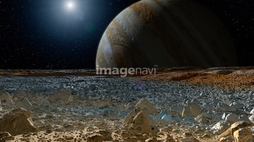
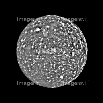
この検索結果には、Saturn, Cassini image、Hurricane Sandy, October 30 2012. NASA Earth Obser…、Surface of Europa, artwork、Callisto, Voyager 2 image、Rapids on Mars, satellite image、Fluvial features on Mars, satellite imageなどが含まれています。
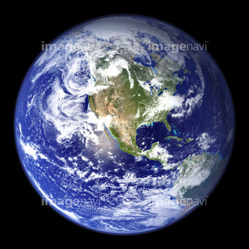
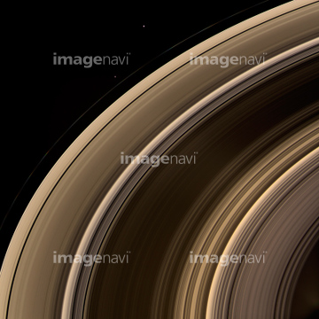
51424877
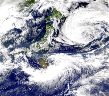


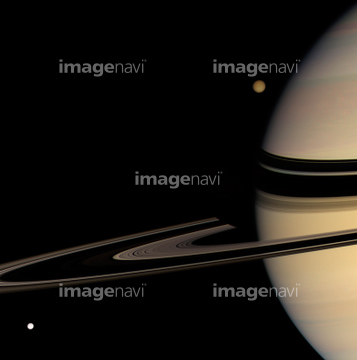
51424861
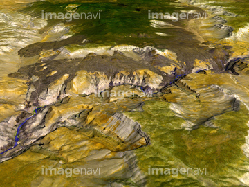
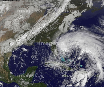
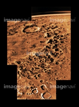
64097324
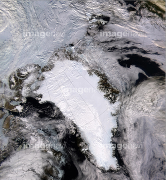
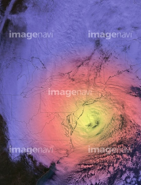
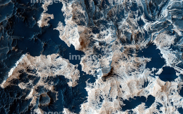
64203012

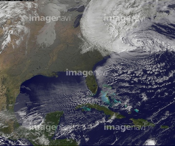
64203011
64203019
64203021
64203022
64203023
64053724

64014670

64074792
64100596
64044479
64100607
64040662
64040857
64078181

64082370
64088901
64233307
64100581
64203006
64203008
64203010
64203013
64203024
64100606

64014700

64074793

17200234
64053486
64053487
64053488
64053489
64053490
64053491

64053684

64053686
64102199
64093947

64073667

64072490
64203007
64203014
64023310

64072484
64070923
64070924
64097665
64097668
64078210

64040011

64040012

64040015

64040016
64014672
51425288

64076043
64076044
64206046
64219594
64073778
64091499
64082371

64014421
64100591
64100597

64073662

64100170
64093945

64106149
64106150
64100582
64013803
64013804
64048835
64011903
64102191
17237119
17237124
17257869
20523772
64068824
64100278

64074420

64074422
64060396

64072485

64072486

64072487


64072491

64072492


64072494

64072495

64072496

64091493
64075540
64097289
64097295
64097298
64097299
99021089
99021090
64053503
64053504
64053505
64074350

64040007

64040009

64040010

64040013

64040014
64128466
64023142
64023144
64023149
64023151
64023163
64023168
64023292
64100578
64100579
64100595
64236109
64242037
64216235

64087817

64096040

64214597


64040182

64040183

64041895
64073777
64014673
| 次ページ |
