HOME > 写真 > 地図・衛星写真 > 衛星写真 > 災害・気象現象
10,000件の写真素材が検索されました。
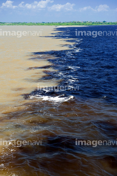
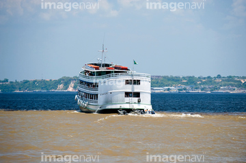
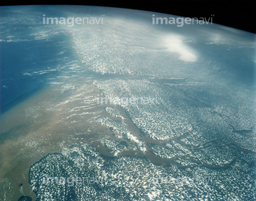
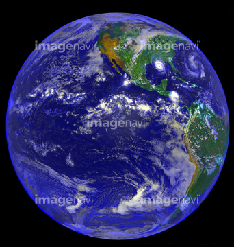
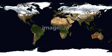
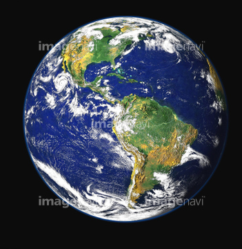
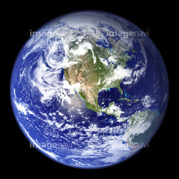
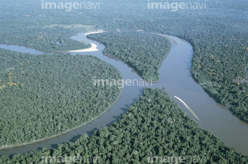
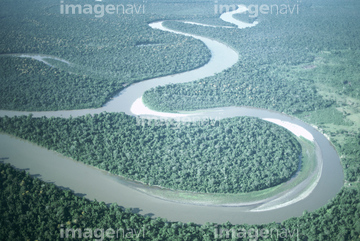
この検索結果には、宇宙から見た地球(NASA提供)、アマゾン川2河川合流地点、アマゾン川と雲、マナウスの港で働く人々、洪水のマナウス市内、ノエル・ケンプ・メルカード国立公園などが含まれています。
51424861

99046059
64042118
64042120
30046935
51424877

51450849
51452901
51452923
64016106
64016912
31006257
31006648
31006702
31006704
31006705
31006706
31006707
31006708
63030491
51991926

64016158


64100596
64100606
64100607

17200234
70006602
70006603
31006258
31006259
31006261
31006262
31006263
31006264

31006265
31006266
31006267
31006268
31006269
31006270
31006271
31006272
31006273
31006274
31006275
31006276
31006299
31006300
31006301
31006302
31006303
31006304
31006305
31006620
31006621
31006622
31006623
31006624
31006625
31006626
31006627
31006628
31006629

31006642
31006643
31006644
31006645
31006646
31006647
31006650
31006657
31006260
31006633
31006634
31006635
31006636
31006637
31006638
31006651
31006652
31006653
31006654
31006655
31006656
31006658
31006659
31006665
31006667
31006668
31006669
31006670
31006671
31006672
31006673
31006674
31006675
31006676
31006677
64097324
31006287
31006288
31006289
31006290
31006291
31006292
31006293
31006294
31006295
31006296
31006297
31006298
31006619
31006639
31006640
31006641
31006649
31006660
31006661
31006662
31006663
51990781
51915142

64082370
53118326

64100581
64203006
64203008
64203010
64203011
64203012
64203013
64203019
64203021
64203022
| 次ページ |
