HOME > 写真 > 地図・衛星写真 > 古地図 > 世界の古地図
10,000件の写真素材が検索されました。
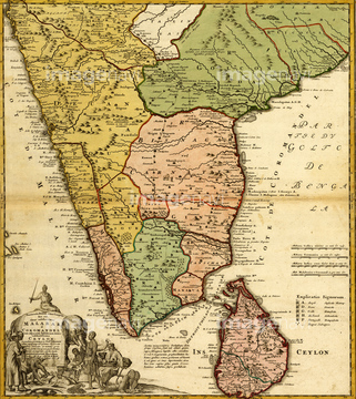
この検索結果には、Map of Southern Brazil、Map of Southern India、Map of Southern Mexico、Map of Spain and Portugal、Map of Turkey and Middle East、Map of West Africaなどが含まれています。

51430872

51430883
51430896

51421880


51421916
51421908

51421919

51421917
51423139


51421877

51421879

51421882

51421883

51421884

51421885

51421888

51421889

51421890

51421891
51421892

51421894

51421895

51421896

51421897

51421898

51421899

51421900

51421901

51421902

51421904

51421905

51421906

51421907

51421920

51421921

51421922

51421923

51422839

51422840

51422841

51422842

51422843
51428838
51428839
51428840
51428841
51428842
51428843
51428844
51428845
51428846
51428847
51428848
51428849
51428850
51428851
51428852
51428853
51428854
51428855
51428856
51428857
51428858
51428859
51428860
51436399
51904111
51937958
51436242
51421887
51430906
51421910
51421912
51435743
51417136
51437253

51410020

51405927

51405928

51405929


51405945
51436078
51436171
51436231
51436232
51436234
51436235
51436236
51436237
51436241
51436285
51436307
51436309

51436390

51435744
51425502

51430892
51436689

51436205
64082743
64083357
64083358
64083359
51902213
51437232
51426600


51933803
51933856
51933857
51417217

64055079
64055080

64052693


64052698
64052701
51906158

64082702
51417237
51417238
51410018

51436239
51436416
51437259

51426610
51931352

51423095
51902212
51436238

51436240


64052695
64082734
64082736
64083414
64083429
51499620
51423140
51982196
51436206
51902397
51906147
| 次ページ |
