HOME > ژتگ^ > ڈو‚蕨پEŒً’ت > Œً’تƒCƒپپ[ƒW > ’nگ}
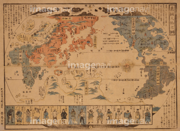
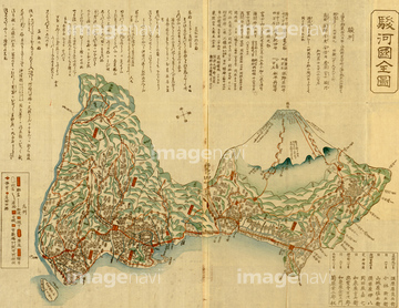
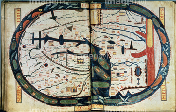
10,000Œڈ‚جژتگ^‘fچق‚ھŒںچُ‚³‚ê‚ـ‚µ‚½پB
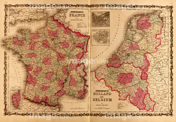
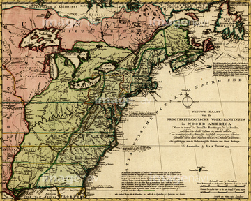
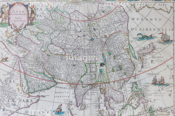
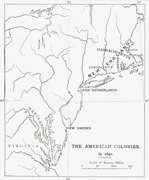
‚±‚جŒںچُŒ‹‰ت‚ة‚حپANew Belgium & New England 1651پAEurope 1700پAEurope 1640پAAfrica 1610پAAfrica 1690پAAfrica 1691‚ب‚ا‚ھٹـ‚ـ‚ê‚ؤ‚¢‚ـ‚·پB


51435734

51435739


51435738

51435723

51435730

51435724

51435725

51435731

51435735
51435763


51435722

51435894

51436339

51436391

51435721

51435729

51435558


51422969


51424030


51430890


51435559

51435560

51435561

51435562

51435720

51435726

51435727

51435728
51435828

51436648

51437237

51437238

51437245

51437246

51437247

51437251
64082724

51421889

51422156
51436284

30047320

30047323

51436216
51436244
70272644


70102713


64055077


64055079

64052655

64052692

64055078


51405937
51435736
51436163
10307329
51430901
70283506
51436297
51436027
51435696
64083417
51422391

51405939

51411448

51411513
30047318
30047322

51435514
51435515
51436136
51436168

51411465


51430889

51411449

51411504

51411511
64082647

70272645
70272646


51938834
51437231

51437221
51436011
51435835
51435840
51435900

51436285

51436287
51436288

51436290
51436291
51436345
51436397
51436399


10307301

10307351

10307357

10307362

64052693


51436182
51436222

51436223


51436694
51436405

51410014

51405944


51435565


51436129
70254835
70254837


51457910
10307337

10307354

10307358

10307359

64055083
51492537

51411456
51405220

51422887

51411445

51411446

51411447

51411453

51411454

51411455

51411466

51411467

51411469

51411470

51411503

51411516

51422943

51422944
51436283
51436416
| ژںƒyپ[ƒW |
